 India · 6th century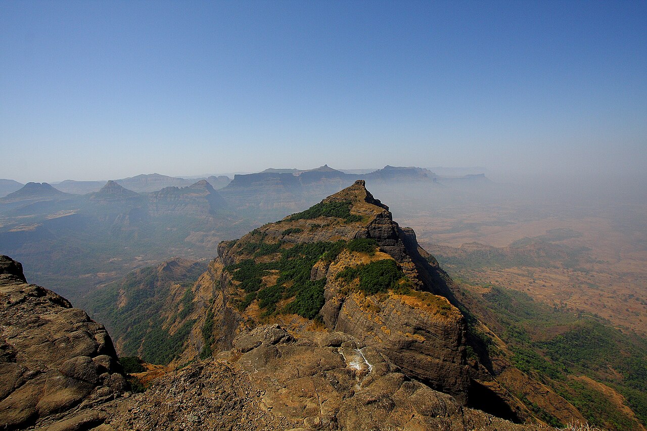
Harishchandragad is a hill fort in the Ahilyanagar district of India. Its history is linked with that of Malshej Ghat, Kothale village and it has played a role in guarding and controlling the surrounding region.
The fort is quite ancient. Remnants of Microlithic man have been discovered here. The various Puranas (ancient scriptures) like Matsyapurana, Agnipurana and Skandapurana include many references about Harishchandragad. Its origin is said to have been in the 6th century, during the rule of Kalachuri dynasty. The citadel was built during this era. The various caves probably have been carved out in the 11th century. In these caves are idols of Lord Vishnu. Though the cliffs are named Taramati and Rohidas, they are not related to Ayodhya. Great sage Changdev (one who created the epic Tatvasaar), used to meditate here in the 14th century.
The caves are from the same period. The various constructions on the fort and those existing the surrounding region point to the existence of diverse cultures here. The carvings on the temples of Nageshwar (in Khireshwar village), in the Harishchandreshwar temple and in the cave of Kedareshwar indicate that the fort belongs to the medieval period, since it is related to mahadeva as a totem of tribes Mahadev Koli. They were controlling the fort before Moguls.
Later the fort was under the control of Moguls. The Marathas captured it in 1747.
To the east of the temple is a well-built lake called “Saptatirtha”. On its bank are temple-like constructions in which there are idols of Lord Vishnu. Recently these idols have been shifted in the caves near the temple of Harishchandreshwar.
Towards the right of Harishchandreshwar temple, there is the huge cave of Kedareshwar (see picture), in which there is a big Shiva Linga, which is completely surrounded by water. Its height from the base is 5 feet (1.5 meters), and the water is waist-deep. It is quite difficult to reach the Shiva Linga because the water is ice-cold. There are sculptures carved out in the cave. In the monsoon it is not possible to reach this cave, as a huge stream flows across the way. Actually this is the origin of River Mangalganga.
As can be seen from the picture, there is a huge rock above the Shiva Linga. There were four pillars built around the Shiva Linga to support the cave.
Text adapted from “Harishchandragad” on Wikipedia, CC BY-SA 4.0.
Harishchandragad ranks #865 of 9,079 worldwide in the atlas's castle fame ranking, and #33 of the 224 mapped in India. Founded c. 550, it is older than 96% of the atlas's dated landmarks — one of 39 atlas entries founded in the 6th century. Its Wikipedia articles were opened 14,140 times in the last 60 days, more than 96% of the atlas. 4 more atlas landmarks stand within 25 km. The nearest day-trip guide is Junnar, 24 km away. See how India compares in the castle statistics.
View on the interactive castle map →