 England · 13th century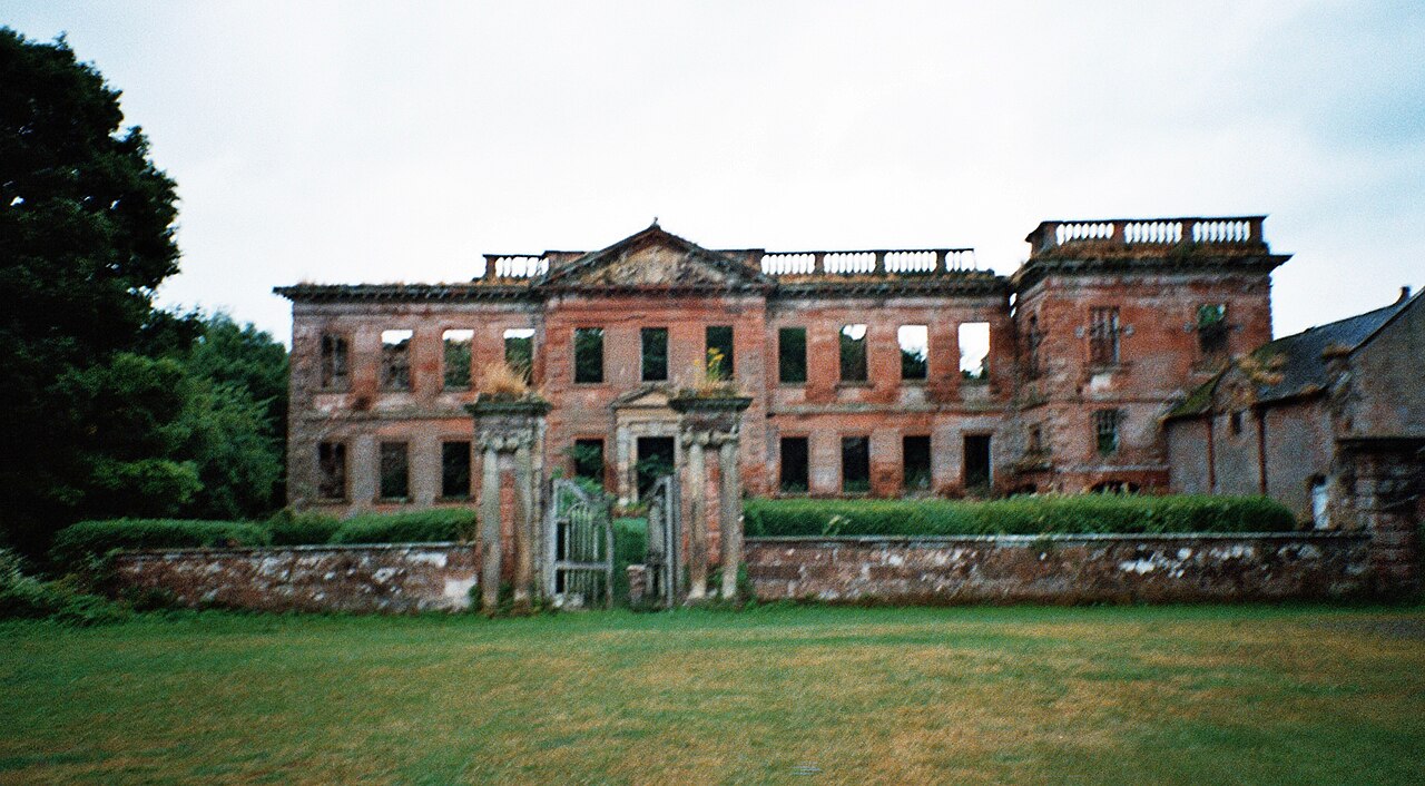
High Head Castle is a ruined country house in the English county of Cumbria located between Carlisle and Penrith. The present Georgian house stands on the site of a medieval castle. The house is now largely a ruin with the exterior walls and certain foundations surviving for the majority of the building. The right hand wing of the building has had a roof re-instated, and may be usable again for the first time since the building burnt down in the 1950s. Currently not open to the public, it is privately owned, and the owners have now for some time been trying to restore the building.
Text adapted from “High Head Castle” on Wikipedia, CC BY-SA 4.0.
High Head Castle ranks #7,647 of 9,079 worldwide in the atlas's castle fame ranking, and #358 of the 360 mapped in England. Founded 1272, it is older than 66% of the atlas's dated landmarks — one of 1080 atlas entries founded in the 13th century. 11 more atlas landmarks stand within 25 km. The nearest day-trip guide is Newcastle upon Tyne, 87 km away. See how England compares in the castle statistics.
View on the interactive castle map →