Ruin
Hunin Fortress
🇮🇱 Israel
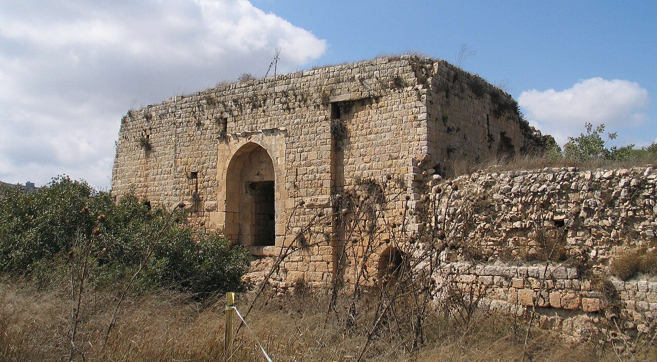
Hunin Fortress (Hebrew: מצודת הונין, literally the fortress of Hunin, Arabic: هونين) is the ruin of a Crusader fortress (castle) in present-day Israel, also known as Château Neuf and elsewhere given as Chastel Neuf (French: literally New Castle, Latin: Castellum Novum).
It lies at an altitude of about 690 metres on a wooded ridge of the Naftali mountains, less than 1 kilometre north of the village of Margaliot and less than 1 kilometre from the border with Lebanon. East of the fortress the terrain falls steeply by 400 metres into the Hula Valley, on the edge of which lies the town of Kiryat Shmona.
Machine-translated from “Mecudat Hunin” on the Czech Wikipedia, CC BY-SA 4.0.
Hunin Fortress ranks #6,207 of 8,134 worldwide in the atlas's castle fame ranking, and #20 of the 25 mapped in Israel. 4 more atlas landmarks stand within 25 km. The nearest day-trip guide is Nabatieh, 18 km away. It is one of the 113 landmarks on the atlas's regional map of the Levant. See how Israel compares in the castle statistics.
View on the interactive castle map →Frequently asked questions
Where is Hunin Fortress?
Hunin Fortress stands in Israel, at 33.22167°, 35.54306°.
How famous is Hunin Fortress?
In this atlas's fame ranking: #6,207 of 8,134 worldwide, and #20 in Israel. Fame here combines how many Wikipedia language editions cover a landmark with how many people read them.
What is the nearest castle to Hunin Fortress?
Doubay Castle, about 6 km away.
More castles in Israel
- Birya Fortress Israel · 20th century
- King's Castle Israel
- Caco Israel · 12th century
- Tel Afula Israel
More ruins
- Yakami Castle Japan · 16th century
- Peterek Castle Turkey
- Fort Kastella Indonesia · 16th century
- Slot Heemstede Netherlands · 13th century