Ruin
Tel Afula
🇮🇱 Israel
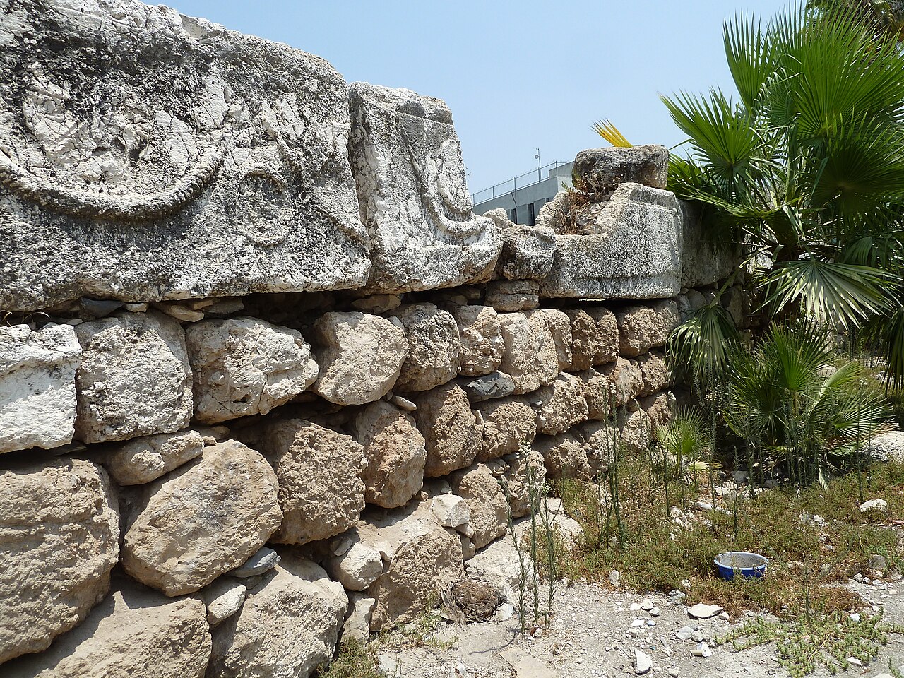
Tel Afula, Al-Fula – a Templar fortress lying in the Jezreel Valley, at the crossing of the routes from Jerusalem and Tiberias. The castle was built on a rectangular plan measuring 120 x 90 metres and surrounded by a wide moat. The castle garrison numbered sixty knights. The fortress was lost after the Battle of Hattin in 1187.
Machine-translated from “La Fève” on the Polish Wikipedia, CC BY-SA 4.0.
Tel Afula ranks #7,612 of 8,134 worldwide in the atlas's castle fame ranking, and #24 of the 25 mapped in Israel. 1 more atlas landmarks stand within 25 km. The nearest day-trip guide is Afula, 1 km away. It is one of the 113 landmarks on the atlas's regional map of the Levant. See how Israel compares in the castle statistics.
View on the interactive castle map →Frequently asked questions
Where is Tel Afula?
Tel Afula stands in Israel, at 32.6057°, 35.29°.
How famous is Tel Afula?
In this atlas's fame ranking: #7,612 of 8,134 worldwide, and #24 in Israel. Fame here combines how many Wikipedia language editions cover a landmark with how many people read them.
What is the nearest castle to Tel Afula?
Belvoir Fortress, about 22 km away.
More castles in Israel
- Cypros Israel
- Masada Israel · 1st century BC
- Tower of David Israel · 2nd century BC
- Walls of Jerusalem Israel · 1st century BC
More ruins
- Tibava Castle Slovakia · 13th century
- Živánska Veža Castle Slovakia
- Bodoň Slovakia
- Pustý hrad (Sklené Teplice) Slovakia · 13th century