 Lithuania · 13th century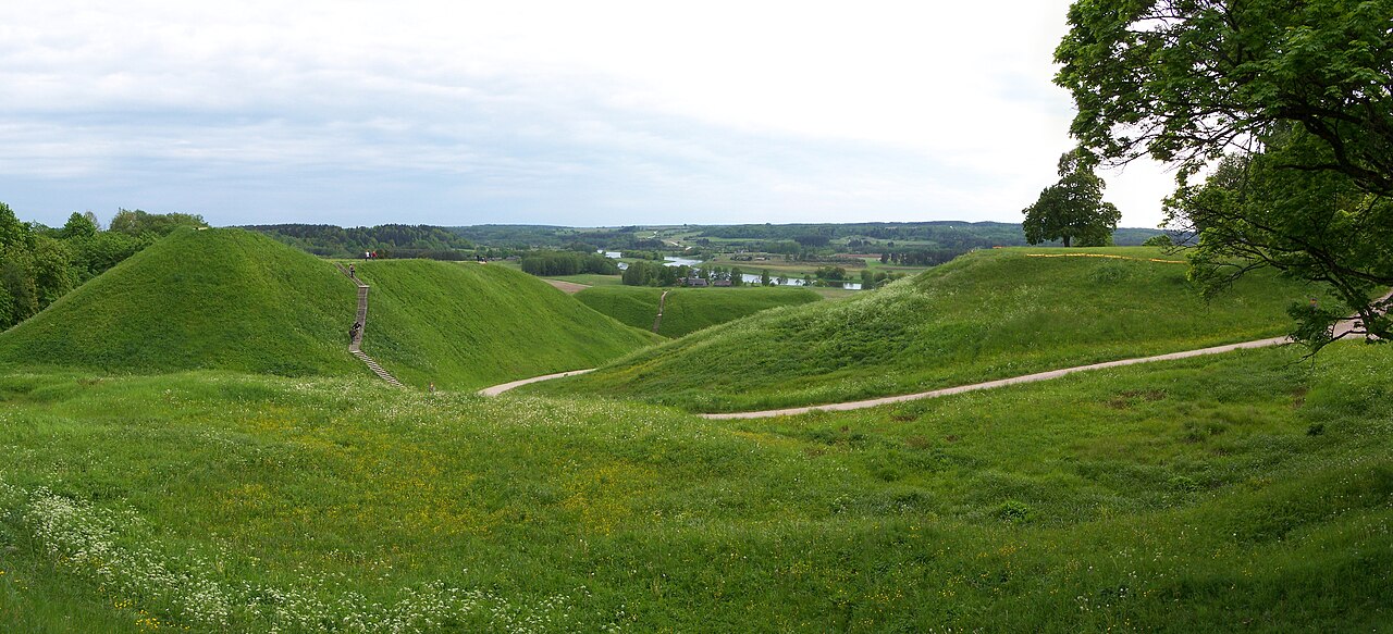
Kernavė was a medieval capital of the Grand Duchy of Lithuania and today is a tourist attraction and an archeological site (population 238, 2021). It is located in the Širvintos district municipality located in southeast Lithuania. A Lithuanian state cultural reserve was established in Kernavė in 1989. In 2004 Kernavė Archaeological Site was included into UNESCO World Heritage list.
Kernavė is a small town in the southeastern part of Lithuania, in Širvintos district, located on the right bank of the river Neris, on the upper Neris terrace. It is 21 kilometers (13 mi) distance from Širvintos and 35 kilometers (22 mi) from Vilnius. It is close to the Vilnius-Kaunas (18 km or 11 mi) and Vilnius-Panevėžys (17 km or 11 mi) highways. It is possible to travel to Kernavė from Vilnius by the Neris River.
Its alternative names include Kernavos, Kernovo, Kiernowo, Kiernów (Polish), and Kernuvke (Yiddish).
The area of Kernavė was sparsely inhabited at the end of the Paleolithic era, with the number of settlements significantly increasing in the Mesolithic and Neolithic eras.
The town was the first capital of Lithuania, a symbol of statehood and pagan independence.
The town was first mentioned in 1279 in written sources, when, as the seat of the Grand Duke Traidenis, it was besieged by the Teutonic Knights. This military operation is mentioned in the Livonian Rhymed Chronicle (with the same passage repeated by Hermann von Wartberge in Cronicon Livoniale). In 1390, during the Lithuanian Civil War (1389–1392), the knights burned the town and its buildings in the Pajauta valley, including the castle. After this raid, the town wasn't rebuilt, and the remaining residents moved to the top of the hill instead of staying in the valley.
In later years, the remains of the city were covered with an alluvial layer, that formed wet peat. It preserved most of the relics intact, and it is a treasure trove for archaeologists, leading some to call Kernavė the "Troy of Lithuania". For example, Kernavė has the oldest known medgrinda, a secret underwater road paved with wood. The road was used for defense and dates from the fourth through the seventh centuries.
Text adapted from “Kernavė” on Wikipedia, CC BY-SA 4.0.
Kernavė ranks #559 of 9,079 worldwide in the atlas's castle fame ranking, and #3 of the 32 mapped in Lithuania. Founded c. 1279, it is older than 65% of the atlas's dated landmarks — one of 1080 atlas entries founded in the 13th century. Its Wikipedia articles were opened 4,905 times in the last 60 days, more than 86% of the atlas. The nearest day-trip guide is Vilnius, 35 km away. See how Lithuania compares in the castle statistics.
View on the interactive castle map →