Ruin
Khirbat al-Minya
 Israel · 8th century
- Founded
- c. 710
- Style
- Umayyad architecture
- Heritage status
- Tentative World Heritage Site
- Location
- Tabgha
- Coordinates
- 32.86472°, 35.53611°
- Open data
- Wikidata Q2915281
- Links
- Wikimedia Commons
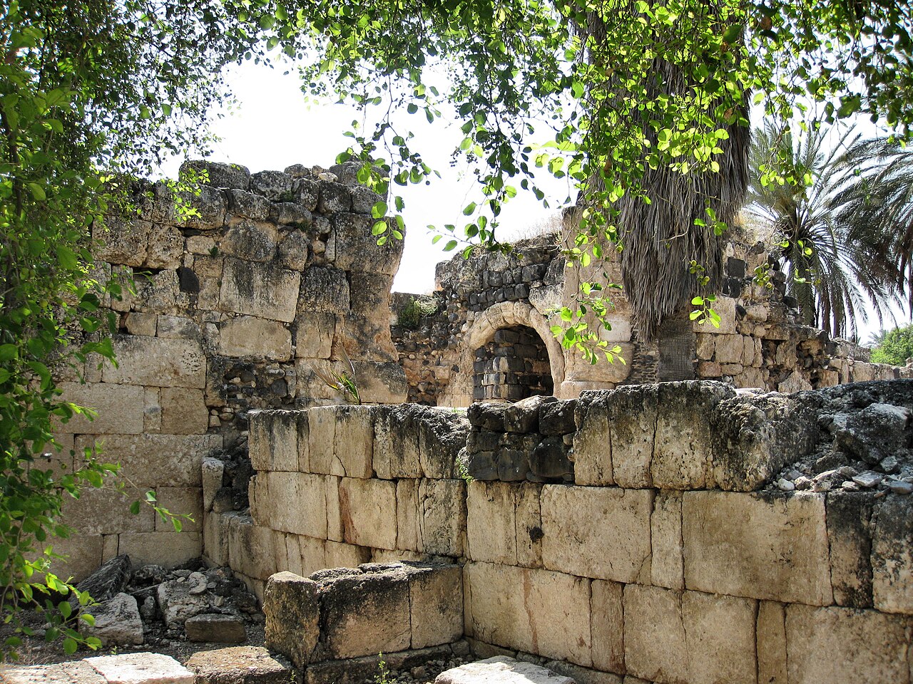
Description
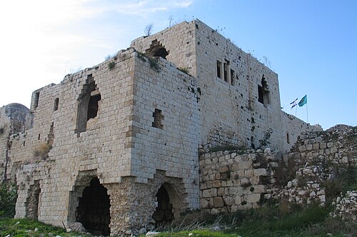
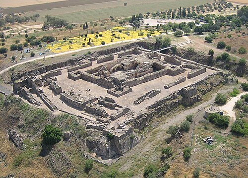
Khirbet Minya, also known as Qasr al-Minya (Arabic: قصر المنية) or Ayn Minyat Hisham in Arabic and Horvat/Hurvat Minnim in Hebrew, is an Umayyad-built qasr (palace) in eastern Galilee, Israel, about 200 meters (660 ft) west of the northern end of Lake Tiberias. It was erected as a qasr complex, with a palace, mosque, and bath built by a single patron.
The name Khirbet Minya, as it is widely known from English-language academic literature, is derived from the Arabic name Khirbet el-Minya or Khirbat al-Minya, depending on the transliteration convention used. It means "Ruins of Minya".
Khirbet Minya was likely built during the reign of the Umayyad caliph al-Walid I (705-715 CE) and an inscription on a stone found at the site mentions his name. The supposed patron of the palace was al-Walid's son, Umar ibn al-Walid, who served as the governor of Tiberias during his father's reign, but fell out of favour when his uncle Sulayman ibn Abd al-Malik became caliph in 715. This makes the palace's mosque one of the earliest to be built in Palestine.
Khirbat al-Minya served as a local administrative center for a subregion of the Jund al-Urdunn ("District of Jordan") and as a contact point for 'Umar and local Arab tribes. It may also have served as a caravanserai for merchants travelling along the Sea of Galilee or northeast from the lake shore to the coast, as a winter retreat for the governor of Tiberias or a summer retreat for the governor at Baysan.
There is evidence that the palace was in use until at least the end of the Umayyad period in 750 CE. The 749 Galilee earthquake damaged the building, causing a rift to run through the eastern wing straight through the mosque's mihrab. The damage was never repaired. It thus remains uncertain whether the palace was ever finished: Fallen debris from the earthquake was discovered in the 20th century in situ on the floor tiles of the main entry. The unused raw materials of a mosaic builder were found in the antechamber of the mosque. Khirbat al-Minya was abandoned at an uncertain date.
Khirbat al-Minya was later temporarily resettled.
Based on the stratification established in the western part of the site and the discovery of Mamluk pottery in 1959, the palace was settled again during the late Mamluk period (14th-15th centuries).
Text adapted from “Khirbet Minya” on Wikipedia, CC BY-SA 4.0.
In the rankings
Khirbat al-Minya ranks #3,088 of 9,902 worldwide in the atlas's castle fame ranking, and #13 of the 24 mapped in Israel. Founded c. 710, it is older than 96% of the atlas's dated landmarks, one of 51 atlas entries founded in the 8th century. 3 more atlas landmarks stand within 25 km. The nearest day-trip guide is Afula, 37 km away. It is one of the 108 landmarks on the atlas's regional map of the Levant. See how Israel compares in the castle statistics.
Castles nearby
- Safed Fortress12 km · Israel
- Birya Fortress14 km · Israel
- Ateret Fortress18 km · Israel
- Belvoir Fortress30 km · Israel
More castles in Israel
- Château PèlerinIsrael · 13th century
- QulaIsrael · 12th century
- Migdal AfekIsrael · 12th century
- Castel National ParkIsrael