 Israel · 13th century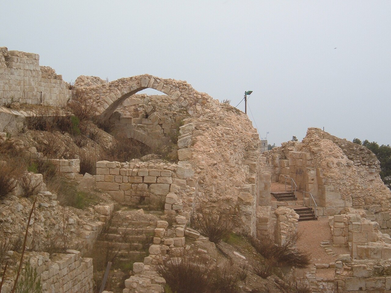
The Citadel of Safed is a now-defunct fortress castle situated on the peak of the mountain housing the modern city of Safed. Furthermore, fortifications existed during the late period of the Second Temple as well as the Roman Empire. However most of the remains left in the place are from the Crusader, Mamluk and Ottoman periods. The citadel was an important administrative center of the crusaders. The citadel was severely damaged in the strong earthquake that struck Safed in 1837. During the last few decades, extensive archaeological excavations have been carried out at the site, revealing remains and ancient findings from all periods of the citadel's existence.
Today, the citadel is visited by tourists for its historical value as well as the view, since due to its high location you can see from it the surroundings of Safed, from the Meron mountain massif in the west, the Sea of Galilee in the east, the lower Galilee in the south, and the Naftali and Hermon mountains to the north. The citadel garden was established in 1950, designed by landscape architect Shlomo Oren Weinberg. A memorial monument was erected to the Safed residents who lost their lives in the 1948 Palestine War.
Text adapted from “Citadel of Safed” on Wikipedia, CC BY-SA 4.0.
Safed Fortress ranks #3,452 of 9,035 worldwide in the atlas's castle fame ranking, and #14 of the 23 mapped in Israel. Founded 1240, it is older than 71% of the atlas's dated landmarks, one of 1090 atlas entries founded in the 13th century. Its Wikipedia articles were opened 1,267 times in the last 60 days, more than 57% of the atlas. 3 more atlas landmarks stand within 25 km. The nearest day-trip guide is Tyre, 43 km away. It is one of the 105 landmarks on the atlas's regional map of the Levant. See how Israel compares in the castle statistics.
View on the interactive castle map →