 Greece · 13th century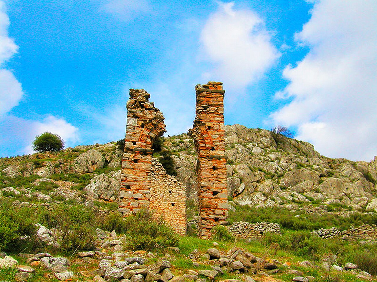
Mouchli (Greek: Μουχλί) was a Byzantine town and castle in the Tegean plain in the Peloponnese in Greece. It was on the edge of the Partheni Basin, between the Tegean plain and the Argolid. In the early 14th century, after the fall of Nikli the seat of the Bishopric of Morea was moved from Nikli to Mouchli. Mouchli fell to the forces of Mehmed II in the 1460s, following the fall of the last Byzantine defences in this part of the Peloponnese. After the conquest, Mouchli lost much of its significance, and was abandoned.
Text adapted from “Mouchli” on Wikipedia, CC BY-SA 4.0.
Mouchli Castle ranks #8,669 of 9,035 worldwide in the atlas's castle fame ranking, and #105 of the 133 mapped in Greece. Founded c. 1294, it is older than 63% of the atlas's dated landmarks, one of 1090 atlas entries founded in the 13th century. 3 more atlas landmarks stand within 25 km. The nearest day-trip guide is Kalamata, 66 km away. It is one of the 34 landmarks on the atlas's regional map of the Peloponnese. See how Greece compares in the castle statistics.
View on the interactive castle map →