Castles near Kalamata
26 castles, fortresses, palaces and ruins within 100 km of the city centre: every one on the interactive map, with photos, distances and directions.
- Within 100 km
- 26 landmarks
- By type
- 12 castles · 4 fortresses · 10 ruins
- Closest
- Kalamata Castle · 1 km
- Most famous
- Mycenae · #12
- Oldest
- Tiryns · c. 1400 BC
- City
- 57,706 residents
The closest is Kalamata Castle, 1 km north-east of the city centre; the most famous is Mycenae (#12 of 9,902 worldwide) 96 km north-east. The oldest dated site in the circle is Tiryns, founded c. 1400 BC.
Every one of them stands in Greece: the country page shows the full national picture.
Within 25 km of Kalamata
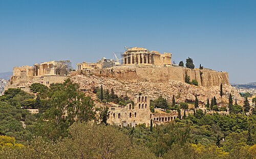
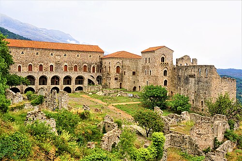
- Mystras23 km east · Ruin · #76 worldwide
Mystras or Mistras, also known in the Chronicle of the Morea as Myzethras or Myzithras, is a fortified town and a former municipality in Laconia,…
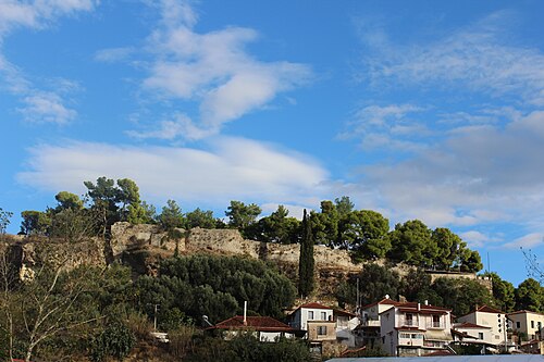
- Kalamata Castle1 km north-east · Ruin
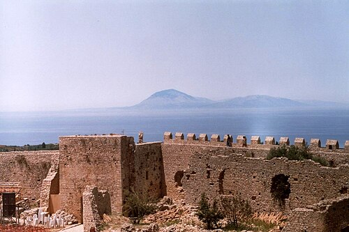
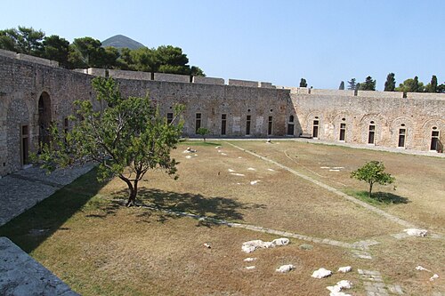
The Castle of Kalamata is a ruined medieval fortress in Kalamata, the capital of Messenia in southern Greece.
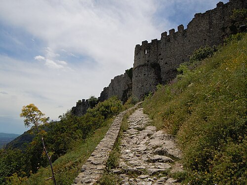
- Mystras Castle23 km east · Castle
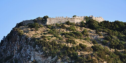
Mystras Castle, also known as the castle of Villehardouin, is the fortress dominating the medieval town of Mystras, in Greece.
Day trips: 25–60 km
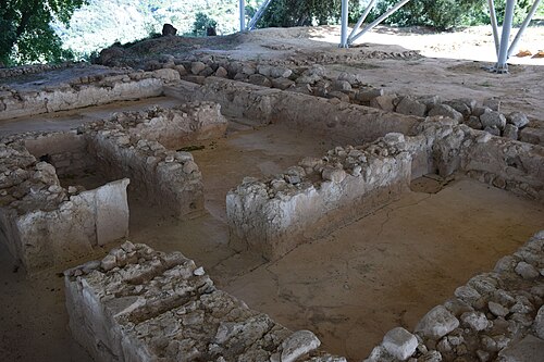
- Palace of Nestor37 km west · Ruin
The Palace of Nestor was an important centre in Mycenaean times and is traditionally identified with the palace of the Homeric king Nestor at "sandy…
- New Navarino Fortress40 km west · Fortress
The fortress of New Navarino is an Ottoman fortification near Pylos, Greece. It is one of two castles guarding the strategic Bay of Pylos, on which…
- Old Navarino Castle41 km west · Castle
The Old Navarino castle is a 13th-century Frankish fortress near Pylos, Greece.
- Methoni Castle44 km south-west · Castle
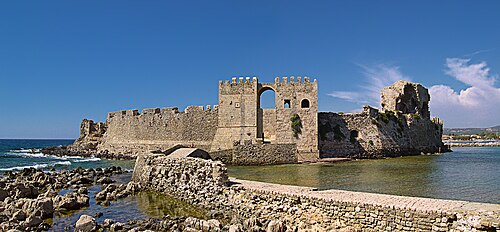
The Castle of Methoni is a medieval fortification in the port town of Methoni, Messenia, in southwestern Greece.
- Araklovon Castle58 km north-west · Castle
Araklovon, rarely known with the variant Oreoklovon and in French as Bucelet and variants thereof, was a medieval castle of the Byzantine era located…
- Castle of Koroni30 km south-west · Castle
The Castle of Koroni was built in Byzantine times on the site where the city of ancient Asine once stood.
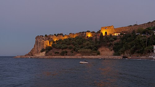
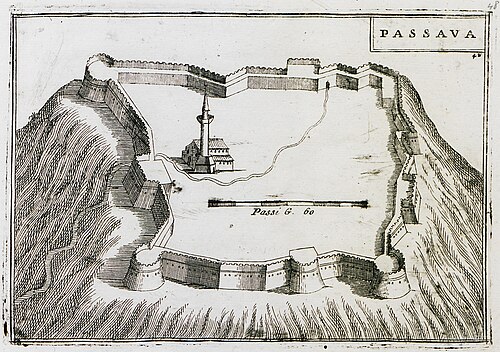
- Passavas Castle49 km south-east · Ruin
Las was a Lacedaemonian perioecic town which later belonged to the Eleutherolaconians. Las was an important port of Sparta.
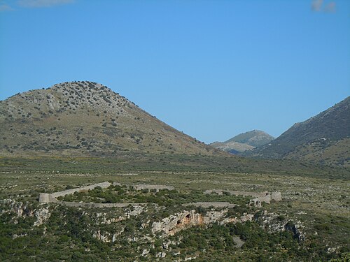
- Kelefa Castle45 km south-east · Castle
Kelefa Castle is a former Turkish fortress of the Eastern Mani, in the regional unit of Laconia, in Greece.
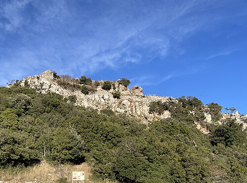
- Saflaouro Castle30 km north-west · Castle
Saflaouro Castle, or the Castle of Saflaouros, also referred to as the Castle of Lantzounato, or Saflaouri, or Savlaouros, or Saflaouros, or the…
Farther afield: 60–100 km
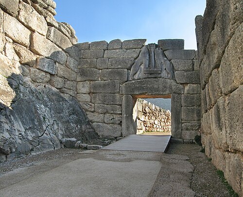
- Mycenae96 km north-east · Ruin · #12 worldwide
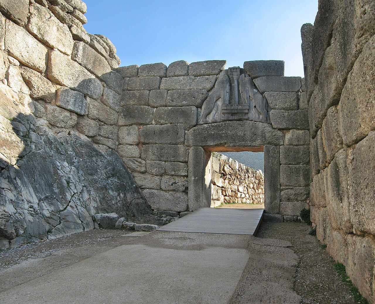
Mycenae is an archaeological site near Mykines in Argolis, north-eastern Peloponnese, Greece.
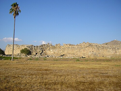
- Tiryns87 km north-east · Ruin · #140 worldwide
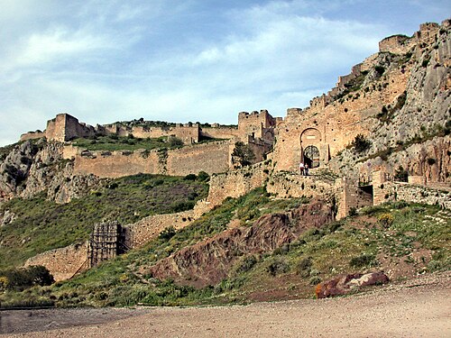
Tiryns is a Mycenaean archaeological site in Argolis in the Peloponnese, and the location from which the mythical hero Heracles was said to have…
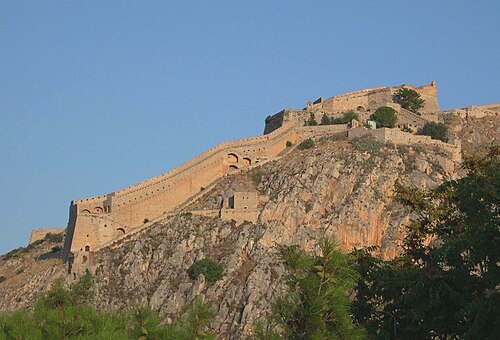
- Palamidi85 km north-east · Fortress
Palamidi is a fortress to the east of the Acronauplia in the town of Nafplio in the Peloponnese region of southern Greece.
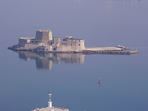
- Bourtzi84 km north-east · Fortress
The water castle of Bourtzi is a Venetian castle located in the middle of the harbour of Nafplio.
- Larissa Fortress86 km north-east · Ruin
Larisa is the ancient and medieval acropolis of Argos, located on a high rocky hill, within the town's boundaries to the west.
- Acronauplia84 km north-east · Fortress
The Acronauplia is the oldest part of the city of Nafplion in Greece. Until the thirteenth century, it was a town on its own.
- Midea (citadel)95 km north-east · Ruin
Midea or Mideia was a city of ancient Argolis. Midea was originally called Perseuspolis, and is mentioned by Pseudo-Apollodorus in connection with…
- Argyrokastro castle72 km north · Castle
Argyrokastro is a castle in the region of the Peloponnese, Greece. It is located in mountainous Arcadia, near the village of Magouliana, at an…
- Pontikokastro99 km north-west · Castle
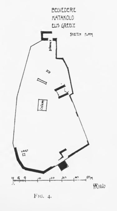
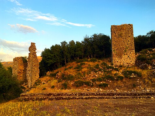
Pontikokastro, known in French as Beauvoir and Italian as Belveder during the late Middle Ages, is a Byzantine castle in Agios Andreas, Katakolo, in…
- Akova Castle76 km north · Castle
The Akova Castle is a medieval fortification in Gortynia, Arcadia, Greece. The medieval castle, also known as Mattegriffon, is built on top of a…
- Mouchli Castle66 km north-east · Castle
Mouchli was a Byzantine town and castle in the Tegean plain in the Peloponnese in Greece.
- Paralio Astros Castle72 km north-east · Castle
Paralio Astros Castle is a medieval castle located on the summit of the hill of Paralio Astros, 4 kilometres from Astros.
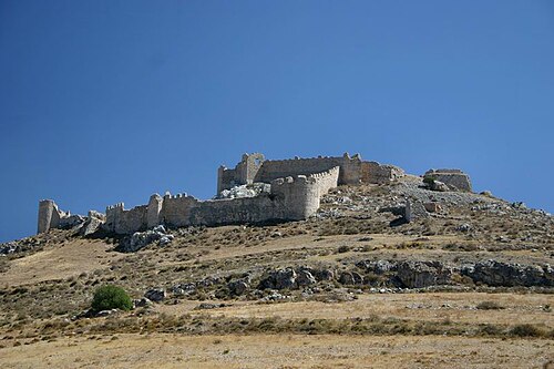
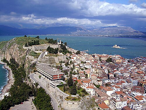
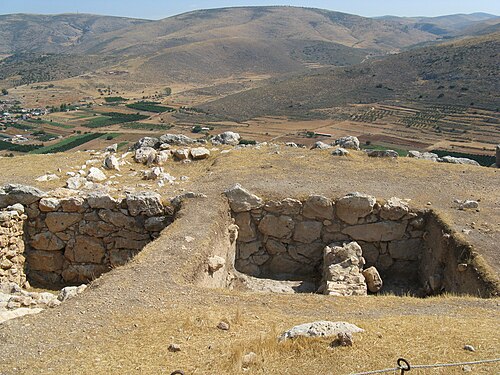
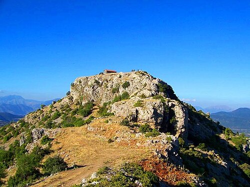
+ 2 more in this range: every one is on the interactive map.
Distances are straight-line from the city centre. City coordinates and population: Wikidata Q167895.
Frequently asked questions
How many castles are near Kalamata?
The Castle Map atlas maps 26 landmarks (12 castles · 4 fortresses · 10 ruins) within 100 km of the centre of Kalamata, measured straight-line: a curated selection of well-documented landmarks, not a count of every fortification ever built.
What is the closest castle to Kalamata?
Kalamata Castle, a ruin 1 km north-east of the city centre.
What is the most famous castle near Kalamata?
Mycenae, ranked #12 of 9,902 worldwide in the atlas's fame ranking: 96 km north-east from Kalamata.
What is the oldest castle near Kalamata?
The oldest dated landmark in the circle is Tiryns, founded c. 1400 BC: 87 km north-east. Earlier structures may have existed; this is the oldest with a documented founding year.