Fortress
Palamidi
 Greece · 18th century
- Founded
- 1714
- Heritage status
- archaeological site in Greece · Protected monument
- Location
- Nafplio Municipality
- Elevation
- 216 m
- Coordinates
- 37.56194°, 22.80417°
- Open data
- Wikidata Q606341
- Links
- OpenStreetMap · Wikimedia Commons
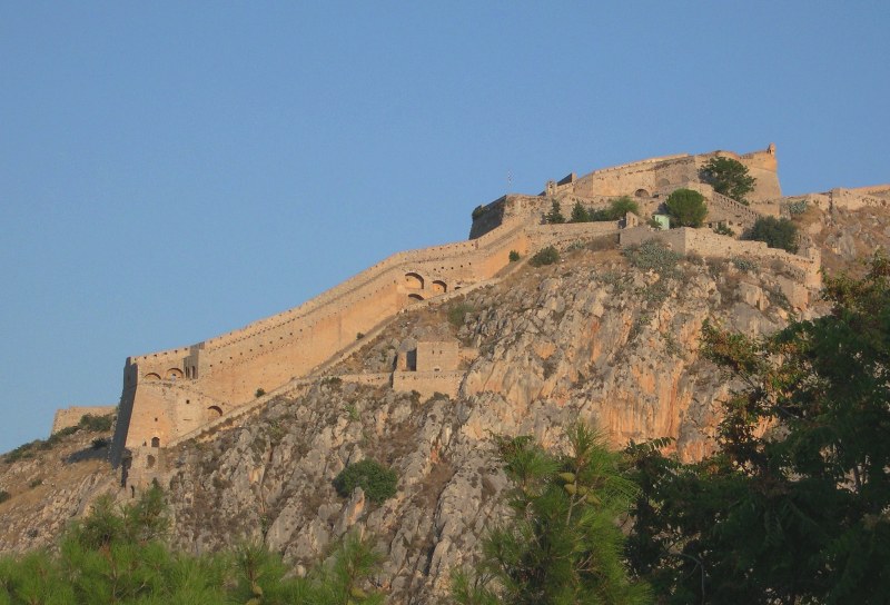
Description
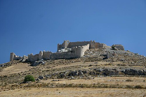
Palamidi (Greek: Παλαμήδι) is a fortress to the east of the Acronauplia in the town of Nafplio in the Peloponnese region of southern Greece. Nestled on the crest of a 216-metre-high (709 ft) hill, the fortress was built by the Venetians during their second occupation of the area (1686–1715).
The fortress was a very large and ambitious project, but was finished within a relatively short period from 1711 to 1714. It is a typical baroque fortress based on the plans of Venetian engineer and oltramarini officer Antonio Giancix (Antun Jančić) and built by French military engineer Pierre de la Salle. In 1715, it was captured by the Ottomans and remained under their control until 1822, when it was captured by the Greeks at the Siege of Nauplia (1822).
The eight bastions of the fortress were originally named after the Venetian provveditori, but when it fell to the Ottoman Empire, the bastions were given Turkish names. Lastly, when the Greeks overthrew the Turks, the bastions were renamed after ancient Greek leaders and heroes - Epaminondas, Miltiades, Leonidas, Phocion, Achilles, and Themistocles. The two remaining bastions were named after St. Andrew (Agios Andreas) and French Philhellene Robert, who died in battle on the Acropolis of Athens. The Miltiades bastion was used as a prison and among its walls was also held Theodoros Kolokotronis, hero of the Greek Revolution.
Text adapted from “Palamidi” on Wikipedia, CC BY-SA 4.0.
In the rankings
Palamidi ranks #658 of 9,902 worldwide in the atlas's castle fame ranking, and #13 of the 133 mapped in Greece. Founded 1714, it is older than 21% of the atlas's dated landmarks, one of 757 atlas entries founded in the 18th century. Its Wikipedia articles were opened 8,104 times in the last 60 days, more than 93% of the atlas. 7 more atlas landmarks stand within 25 km. The nearest day-trip guide is Kalamata, 85 km away. It is one of the 34 landmarks on the atlas's regional map of the Peloponnese. See how Greece compares in the castle statistics.
Castles nearby
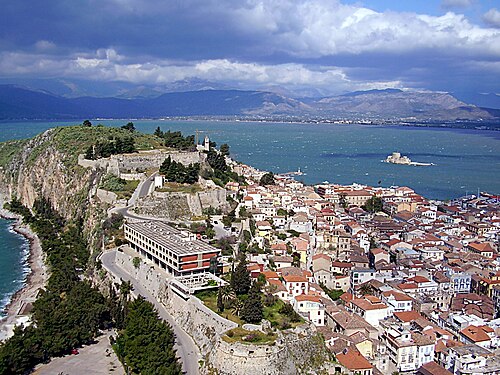
- Acronauplia1 km · Greece
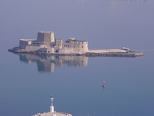
- Bourtzi1 km · Greece
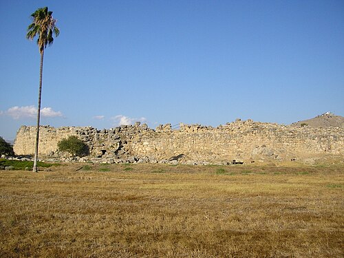
- Tiryns4 km · Greece
- Larissa Fortress12 km · Greece
More castles in Greece
- Rocca a MareGreece · 16th century
- Tatoi PalaceGreece
- Presidential MansionGreece · 19th century
- Palace of NestorGreece · 13th century BC