 Greece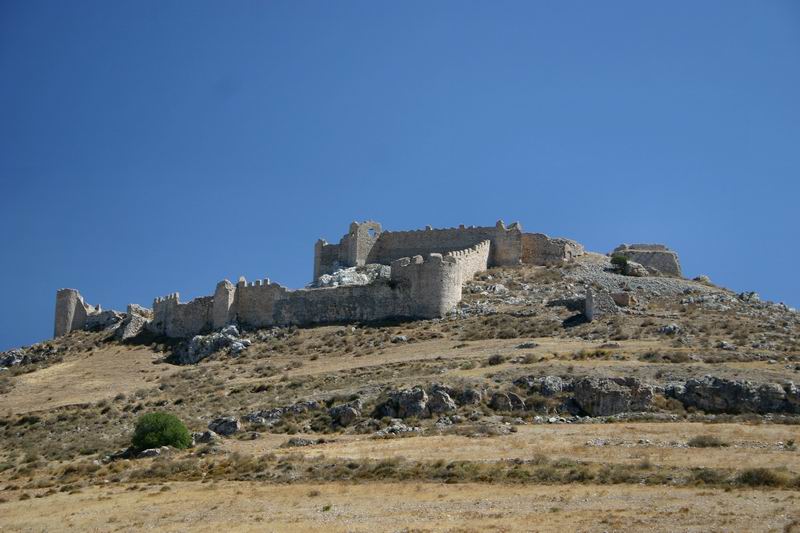
Larisa (Greek: Λάρισα, also Κάστρο Λάρισα, "Castle Larisa") is the ancient and medieval acropolis of Argos, located on a high rocky hill, within the town's boundaries to the west. According to Strabo, it is named for a group of Pelasgians. The summit is occupied by the ruins of a Byzantine-Venetian castle, below it, roughly midway down the slope of the mountain, is Panagia Katakekrymeni-Portokalousa monastery, and opposite the castle entrance, the Monastery of Agia Marina (Saint Margaret), a nunnery. The site was fortified and in continuous use for nineteen centuries.
Text adapted from “Larisa (Argos)” on Wikipedia, CC BY-SA 4.0.
Larissa Fortress ranks #1,845 of 9,079 worldwide in the atlas's castle fame ranking, and #34 of the 134 mapped in Greece. Its Wikipedia articles were opened 2,567 times in the last 60 days, more than 75% of the atlas. 8 more atlas landmarks stand within 25 km. The nearest day-trip guide is Kalamata, 86 km away. It is one of the 34 landmarks on the atlas's regional map of the Peloponnese. See how Greece compares in the castle statistics.
View on the interactive castle map →