 Wales · 12th century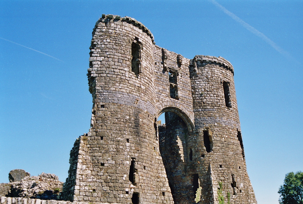
Llawhaden Castle (Welsh: Castell Llanhuadain) (grid reference SN 073175) is a ruined castle in Llawhaden, Pembrokeshire, Wales, 10 miles (16 km) east of Haverfordwest. A motte-and-bailey castle is thought to have previously occupied the site and the present structure was built by the bishops of the Diocese of St David in the 13th century. The castle was abandoned in the 16th century and some of the stone was removed for local building projects. The site is privately owned by the Lord of the Manor of Llawhaden and managed by Cadw.
Text adapted from “Llawhaden Castle” on Wikipedia, CC BY-SA 4.0.
Llawhaden Castle ranks #4,168 of 9,079 worldwide in the atlas's castle fame ranking, and #75 of the 107 mapped in Wales. Founded c. 1200, it is older than 75% of the atlas's dated landmarks — one of 756 atlas entries founded in the 12th century. 13 more atlas landmarks stand within 25 km. The nearest day-trip guide is Swansea, 63 km away. See how Wales compares in the castle statistics.
View on the interactive castle map →