Castle Map

Italy

Castles near Frosinone

113 castles, fortresses, palaces and ruins within 100 km of the city centre — every one on the interactive map, with photos, distances and directions.

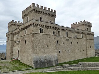
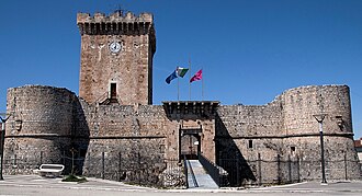
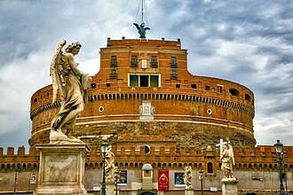
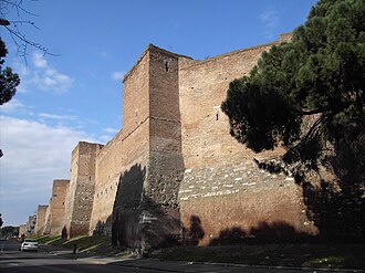
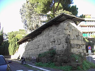
The closest is Piccolomini Castle (Balsorano), 26 km north-east of the city centre; the most famous is Castel Sant'Angelo — #22 of 9,079 worldwide — 79 km north-west. The oldest dated site in the circle is Servian Wall, founded c. 350 BC.

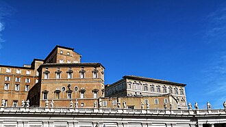
The 100 km circle reaches into 2 countries — Italy (112), Vatican City (1).
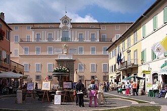
Day trips: 25–60 km

+ 3 more in this range — every one is on the interactive map.

Farther afield: 60–100 km

+ 86 more in this range — every one is on the interactive map.

Distances are straight-line from the city centre. City coordinates and population: Wikidata Q13413.

Frequently asked questions

How many castles are near Frosinone?

The Castle Map atlas maps 113 landmarks (46 castles · 4 fortresses · 60 palaces & châteaux · 3 ruins) within 100 km of the centre of Frosinone, measured straight-line — a curated selection of well-documented landmarks, not a count of every fortification ever built.

What is the closest castle to Frosinone?

Piccolomini Castle (Balsorano), a castle 26 km north-east of the city centre.

What is the most famous castle near Frosinone?

Castel Sant'Angelo, ranked #22 of 9,079 worldwide in the atlas's fame ranking — 79 km north-west from Frosinone.

What is the oldest castle near Frosinone?

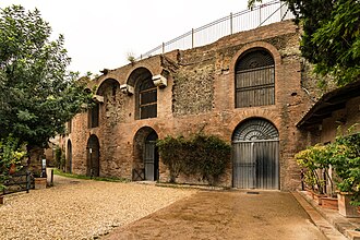
The oldest dated landmark in the circle is Servian Wall, founded c. 350 BC — 76 km north-west. Earlier structures may have existed; this is the oldest with a documented founding year.

Nearby city guides: Latina (41 km) · Avezzano (45 km) · Rome (78 km) · L'Aquila (80 km). See also medieval castles · all rankings · castles by country.