Fortress
Neuf-Brisach
 France · 17th century
- Founded
- 1697
- Heritage status
- listed in the general inventory of cultural heritage
- Location
- canton of Neuf-Brisach
- Elevation
- 196 m
- Coordinates
- 48.01806°, 7.52833°
- Open data
- Wikidata Q150039
- Links
- OpenStreetMap · Wikimedia Commons

Description
Neuf-Brisach (French pronunciation: [nœfbrizak] or [nøbrizak], lit. 'New Brisach'; German: Neubreisach, lit. 'New Breisach', in contrast to "Old Breisach"; Alsatian: Nei-Brisach) is a fortified town and commune of the department of Haut-Rhin in Alsace in north-eastern France. The fortified town was intended to guard the border between France and the Holy Roman Empire and, subsequently, the German states. It was built after the Treaty of Ryswick in 1697 that resulted in France losing the town of Breisach, on the opposite bank of the Rhine. The town's name means New Breisach.
The town is a UNESCO World Heritage Site because of quintessential military fortifications and its testimony to the influence of Vauban on military architecture during the 17–19th centuries.
Text adapted from “Neuf-Brisach” on Wikipedia, CC BY-SA 4.0.
In the rankings
Neuf-Brisach ranks #114 of 9,902 worldwide in the atlas's castle fame ranking, and #14 of the 954 mapped in France. Founded 1697, it is older than 22% of the atlas's dated landmarks, one of 755 atlas entries founded in the 17th century. Its Wikipedia articles were opened 20,233 times in the last 60 days, more than 98% of the atlas. 9 more atlas landmarks stand within 25 km. The nearest day-trip guide is Colmar, 15 km away. It is one of the 63 landmarks on the atlas's regional map of Alsace. It is stop 29 of 32 on the Alsace castle route, Wissembourg to Mulhouse. See how France compares in the castle statistics.
Castles nearby
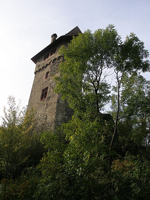
- Burg Sponeck in Sasbach
 11 km · Germany
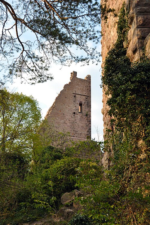
- Château de Dagsbourg19 km · France
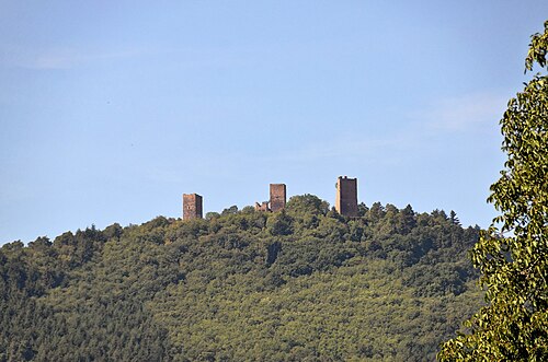
- Les Trois Châteaux19 km · France
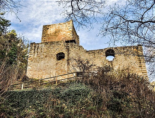
- Château de Hagueneck19 km · France
More castles in France
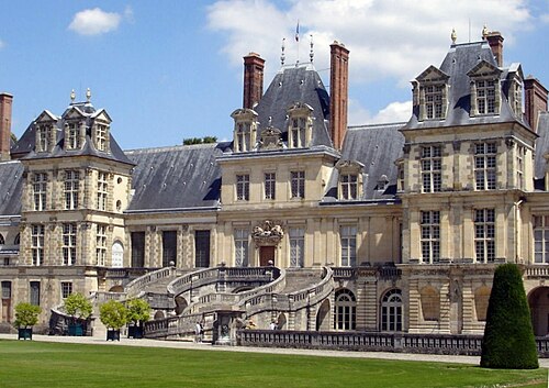
- Palace of FontainebleauFrance · 12th century
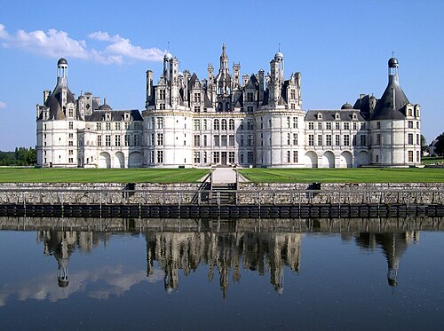
- Château de ChambordFrance · 16th century
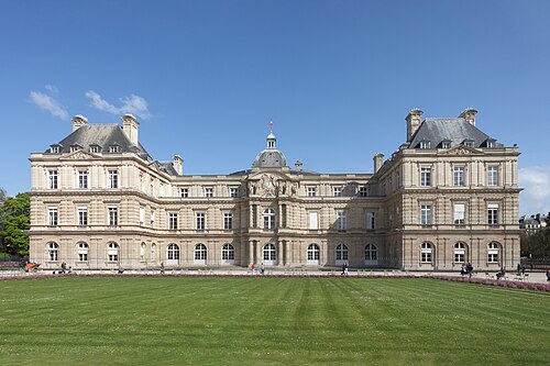
- Luxembourg PalaceFrance · 17th century
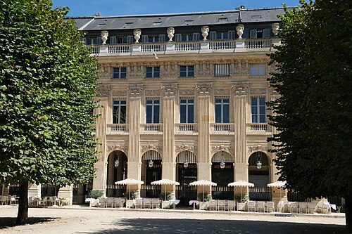
- Palais-RoyalFrance · 17th century