Ruin
Kala-Fatlar
🇺🇦 Ukraine · 13th century
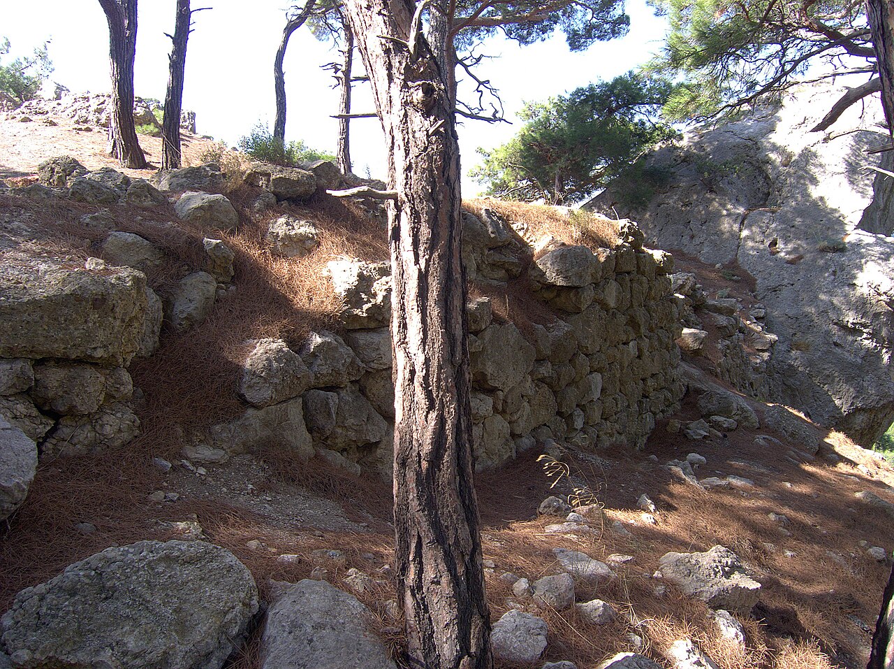
Kala-Fatlar (also Kuchuk-Muskomsky Isar, Kalafatlar) is the ruin of a medieval, presumably feudal, castle in the Balaklava district of Sevastopol.
It is located in the south-western part of Crimea, on the coast between Balaklava and Cape Aya, 4 km south-west of the village of Rezervnoye, near the mountain of the same name, on the top of the Inzhir rock. The name is derived from the word "kalafat", which in Turkic means "a janissary's headgear", or according to another version "kala-fatlar" means "fortress of the invaders". There is a version that the castle was created to control the road from Balaklava along the shore. It is assumed that it arose no earlier than the 13th century; the historian Yevgeny Nedelkin believes that the fortification belonged to the Principality of Theodoro. There is a version that the castle perished even before the founding of the Genoese trading post at Cembalo, having been destroyed by the Genoese as a threat to the colony.
The castle is presumably dated to the 13th–14th century; archaeological excavations at the site have not been carried out, and research was limited to an eye survey of the plan and the collection of surface material of the 10th–11th century. The first brief mention of the Kuchuk-Muskomsky Isar was contained in an unpublished work by N. I. Repnikov of 1940 devoted to the monuments of the Southern Coast.
The walls of the fortress, 2.2–2.3 m thick, were built of large undressed stones on a sand-and-lime mortar. The isthmus between the fortress and the eastern precipices of the Kala-Fatlar massif, 135 m wide, was blocked by a wall of the same masonry with a thickness of 2.2–2.4 m; the remains of the wall project 0.8–1 m above the surface.
Machine-translated from “Кала-Фатлар” on the Russian Wikipedia, CC BY-SA 4.0.
Kala-Fatlar ranks #7,793 of 8,134 worldwide in the atlas's castle fame ranking, and #164 of the 188 mapped in Ukraine. Founded c. 1300, it is older than 63% of the atlas's dated landmarks — one of 861 atlas entries founded in the 13th century. 19 more atlas landmarks stand within 25 km. The nearest day-trip guide is Sevastopol, 18 km away. See how Ukraine compares in the castle statistics.
View on the interactive castle map →Frequently asked questions
Where is Kala-Fatlar?
Kala-Fatlar stands in Ukraine, at 44.46389°, 33.64167°.
When was Kala-Fatlar built?
The atlas dates its founding to c. 1300. Earlier structures may have stood on the site; this is the earliest documented founding year.
How famous is Kala-Fatlar?
In this atlas's fame ranking: #7,793 of 8,134 worldwide, and #164 in Ukraine. Fame here combines how many Wikipedia language editions cover a landmark with how many people read them.
What is the nearest castle to Kala-Fatlar?
Kamara-Isar, about 5 km away.
More castles in Ukraine
- Novobohorodytska Fortress Ukraine · 17th century
- Bilevska fortress Ukraine
- Aluston Fortress Ukraine · 6th century
- Gurzuf Fortress Ukraine · 6th century
More ruins
- Demerdji Isar Ukraine · 13th century
- Asarane Burun Ukraine
- Burun Kaia Ukraine · 9th century
- Isar Baga Ukraine