Fortress
Ollantaytambo
🇵🇪 Peru
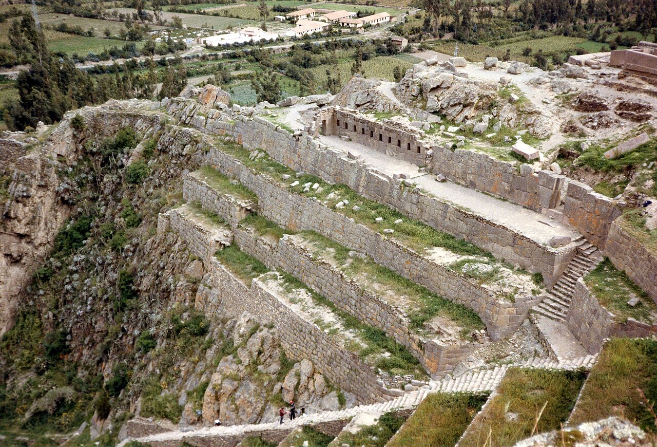
Ollantaytambo (Quechua: Ullantaytampu) is a town and an Inca archaeological site in southern Peru some 72 km (45 mi) by road northwest of the city of Cusco. It is located at an altitude of 2,792 m (9,160 ft) above sea level in the district of Ollantaytambo, province of Urubamba, Cusco region. During the Inca Empire, Ollantaytambo in the Sacred Valley of the Incas was the royal estate of Emperor Pachacuti, after the mid-15th century. He built a town and a ceremonial center there. At the time of the Spanish conquest of Peru, it served as a stronghold for Manco Inca Yupanqui, leader of the Inca resistance. It is now an important tourist attraction on account of its Inca ruins and its location en route to a starting point for the four-day, three-night hike of the Inca Trail.
Text adapted from “Ollantaytambo” on Wikipedia, CC BY-SA 4.0.
Ollantaytambo ranks #133 of 8,134 worldwide in the atlas's castle fame ranking, and #3 of the 18 mapped in Peru. Its Wikipedia articles were opened 24,498 times in the last 60 days, more than 98% of the atlas. The nearest day-trip guide is Cusco, 42 km away. See how Peru compares in the castle statistics.
View on the interactive castle map →Frequently asked questions
Where is Ollantaytambo?
Ollantaytambo stands in Peru, at -13.25806°, -72.26333°.
How famous is Ollantaytambo?
In this atlas's fame ranking: #133 of 8,134 worldwide, and #3 in Peru. Fame here combines how many Wikipedia language editions cover a landmark with how many people read them.
What is the nearest castle to Ollantaytambo?
Machu Picchu, about 32 km away.
More castles in Peru
- Vilcabamba Peru · 16th century
- Kuelap Peru · 10th century
- Choquequirao Peru · 16th century
- Government Palace (Peru) Peru · 16th century
More fortresses
- Walls of Constantinople Turkey · 5th century
- Vyšehrad Czech Republic · 10th century
- Château d'If France · 16th century
- Namdaemun South Korea · 14th century