 Peru · 16th century
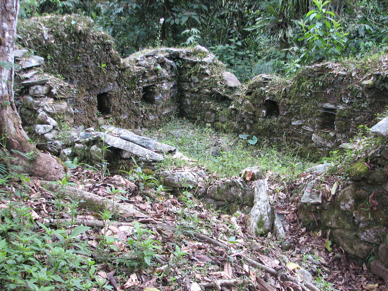
Vilcabamba ranks #227 of 9,040 worldwide in the atlas's castle fame ranking, and #5 of the 18 mapped in Peru. Founded 1539, it is older than 40% of the atlas's dated landmarks, one of 887 atlas entries founded in the 16th century. Its Wikipedia articles were opened 16,772 times in the last 60 days, more than 97% of the atlas. See how Peru compares in the castle statistics.
Vilcabamba (in Hispanicized spelling) or Willkapampa (Aymara and Quechua), often called the Lost City of the Incas, is a lost city in the Echarate District of La Convención Province in the Cuzco Region of Peru. Vilcabamba, in Quechua, means "sacred plain". The modern name for the Inca ruins of Vilcabamba is Espíritu Pampa (Plain of the Spirits).
Vilcabamba was the capital of the Neo-Inca State from 1539 to 1572. The Neo-Inca State was the last refuge of the Inca Empire until it fell to the Spaniards and their indigenous allies in 1572, signaling the end of Inca resistance to Spanish rule. Subsequently, Vilcabamba was abandoned and its location forgotten. In 1911 explorer Hiram Bingham mistakenly identified the abandoned ruin of Machu Picchu as Vilcabamba, but he also visited a ruin called Espiritu Pampa by local Peruvians. In 1964, Gene Savoy identified Espiritu Pampa as the fabled Vilcabamba, a designation widely accepted by archaeologists and historians.
Not to be confused with Vilcabamba, Ecuador, Vilcabamba or Espiritu Pampa is located near the Chontabamba River, a tributary of the Urubamba River. The Inca capital has often been referred to as Vilcabamba the Old to distinguish it from the town of Vilcabamba the New, of Spanish origin and 35 kilometres (22 miles) in straight-line distance southeast of Old Vilcabamba.
In 2010, items belonging to the Wari culture and radiocarbon dated to about 700 AD were found at Espiritu Pampa. This discovery indicated that the site was occupied long before it became the Inca capital in 1539. As of 2013, archaeological investigations of the site were incomplete and the ruins of Espiritu Pampa were inaccessible by vehicle.
Text adapted from “Vilcabamba, Peru” on Wikipedia, CC BY-SA 4.0.
View on the interactive castle map →