 Greece · 14th century BC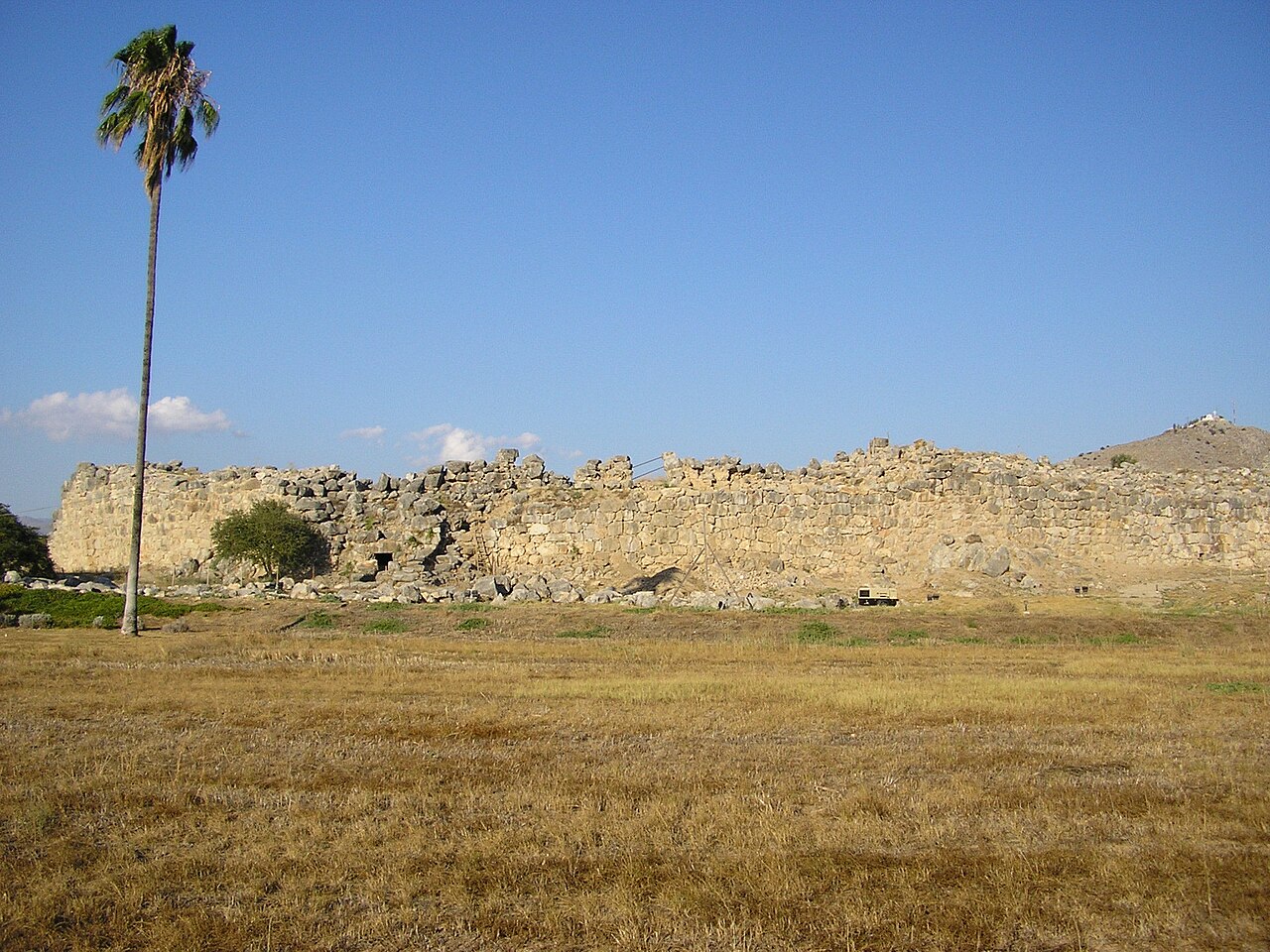
Tiryns ( or ; Ancient Greek: Τίρυνς; Modern Greek: Τίρυνθα) is a Mycenaean archaeological site in Argolis in the Peloponnese, and the location from which the mythical hero Heracles was said to have performed his Twelve Labours. It lies 20 km (12 mi) south of Mycenae.
Tiryns was a hill fort with occupation ranging back seven thousand years, from before the beginning of the Bronze Age. It reached its height of importance between 1400 and 1200 BC, when it became one of the most important centers of the Mycenaean world, and in particular in Argolis. Its most notable features were its palace, its Cyclopean tunnels and especially its walls, which gave the city its Homeric epithet of "mighty walled Tiryns". Tiryns became associated with the myths surrounding Heracles, as the city was the residence of the hero during his labors, and some sources cite it as his birthplace.
The famous megaron of the palace of Tiryns has a large reception hall, the main room of which had a throne placed against the right wall and a central hearth bordered by four Minoan-style wooden columns that served as supports for the roof. Two of the three walls of the megaron were incorporated into an archaic temple of Hera. The site went into decline at the end of the Mycenaean period, and was completely deserted by the time Pausanias visited in the 2nd century AD.
In c. 1300 BC, the citadel and lower town had a population of 10,000 people covering 20–25 hectares. Despite the destruction of the palace in c. 1200 BC, the city population continued to increase and by 1150 BC it had a population of 15,000 people.
Along with the nearby ruins of Mycenae, UNESCO designated Tiryns as a World Heritage Site in 1999 because of its outstanding architecture and testimony to the development of Ancient Greek civilization.
Text adapted from “Tiryns” on Wikipedia, CC BY-SA 4.0.
Tiryns ranks #78 of 9,035 worldwide in the atlas's castle fame ranking, and #5 of the 133 mapped in Greece. Founded c. 1400 BC, it is older than 99% of the atlas's dated landmarks, one of 5 atlas entries founded in the 14th century BC. Its Wikipedia articles were opened 28,282 times in the last 60 days, more than 98% of the atlas. 7 more atlas landmarks stand within 25 km. The nearest day-trip guide is Kalamata, 87 km away. It is one of the 34 landmarks on the atlas's regional map of the Peloponnese. See how Greece compares in the castle statistics.
View on the interactive castle map →