 India · 17th century
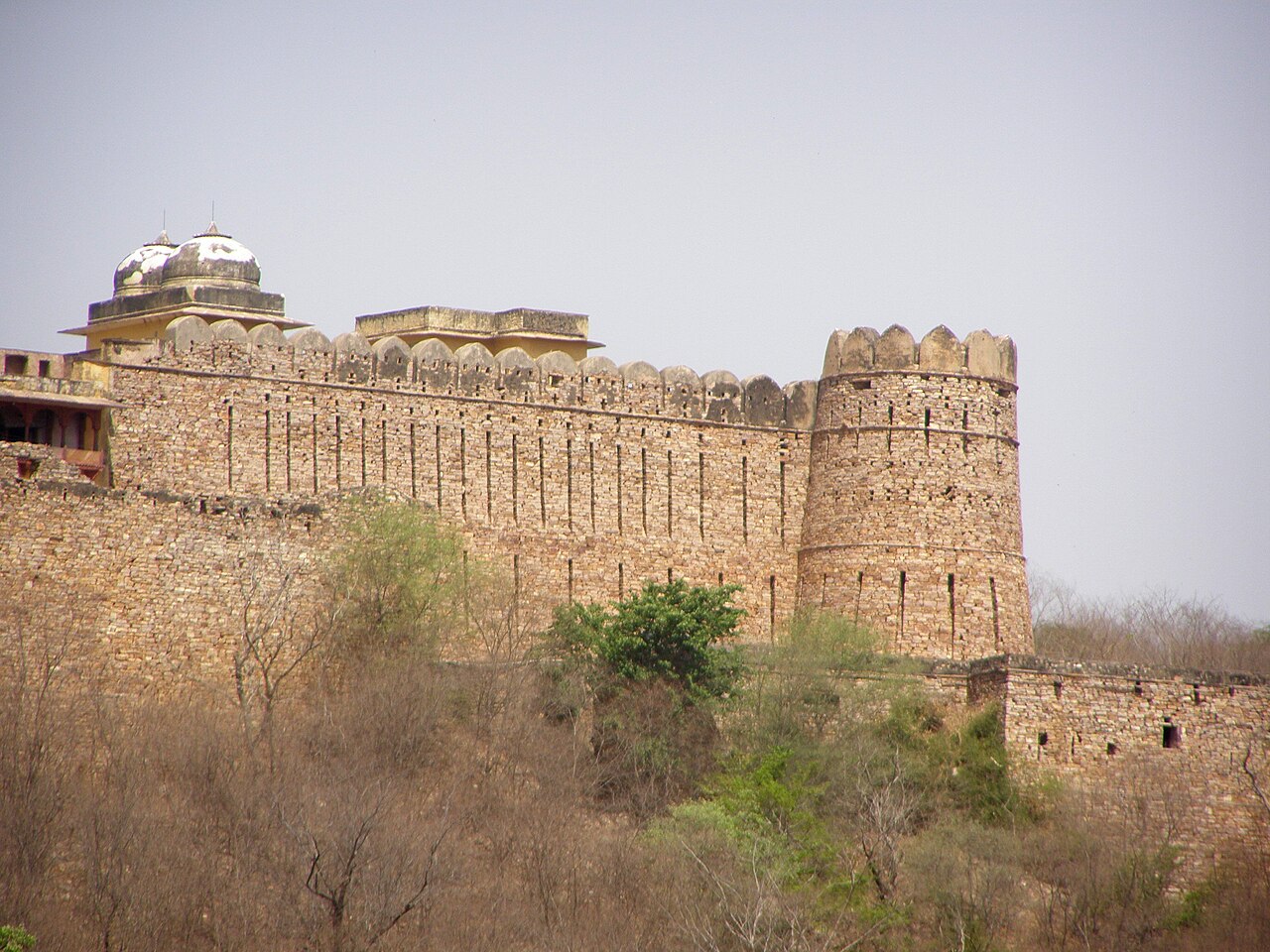
Ramathra Fort ranks #9,012 of 9,040 worldwide in the atlas's castle fame ranking, and #222 of the 223 mapped in India. Founded c. 1650, it is older than 25% of the atlas's dated landmarks, one of 710 atlas entries founded in the 17th century. It is one of the 30 landmarks on the atlas's regional map of Rajasthan. See how India compares in the castle statistics.
Ramathra Fort is a 17th-century stronghold of the Jadaun (or Jadon) Rajputs located near the town of Sapotara in Karauli district, Rajasthan, India. The site is 72 km south-west of Karauli and 60 km east of Gangapur City.
The Jadaun belong to the Chandravanshi caste and claim divine descent from none other than the god Krishna.
Machine-translated from “Fort de Ramathra” on the French Wikipedia, CC BY-SA 4.0.
View on the interactive castle map →