 Israel · 10th century
Minat al-Qal'a ranks #4,364 of 9,040 worldwide in the atlas's castle fame ranking, and #16 of the 23 mapped in Israel. Founded c. 950, it is older than 92% of the atlas's dated landmarks, one of 192 atlas entries founded in the 10th century. The nearest day-trip guide is Ashdod, 3 km away. It is one of the 105 landmarks on the atlas's regional map of the Levant. See how Israel compares in the castle statistics.
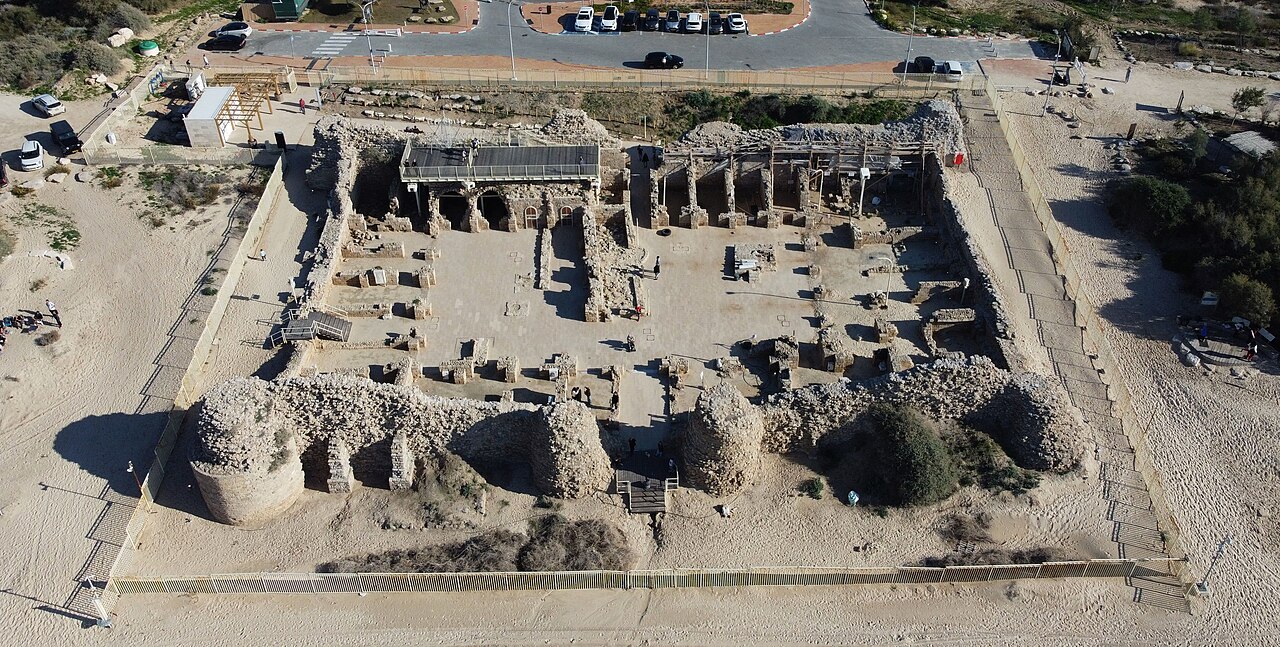
Minat al-Qal'a (Arabic: مِنَاة الْقَلَعَة, lit. 'harbour of the fort'; Hebrew: מצודת אשדוד ים, romanized: Metzudat Ashdod Yam, lit. 'Ashdod Yam Fortress'; Latin: Castellum Beroart) is a medieval coastal fort protecting the port known as Ashdod-Yam (lit. "Ashdod-on-the-Sea"), which was historically separate from Ashdod proper but whose archaeological remains are today located on the southern beach of the sprawling modern city of Ashdod. The fort was built by the Umayyads and later restored by the Crusaders.
Text adapted from “Minat al-Qal'a” on Wikipedia, CC BY-SA 4.0.
View on the interactive castle map →