Castle
Skipsea Castle
 England · 11th century
- Founded
- 1086
- Heritage status
- scheduled monument
- Location
- Skipsea
- Coordinates
- 53.9779°, -0.23054°
- Open data
- Wikidata Q7535837
- Links
- Wikimedia Commons
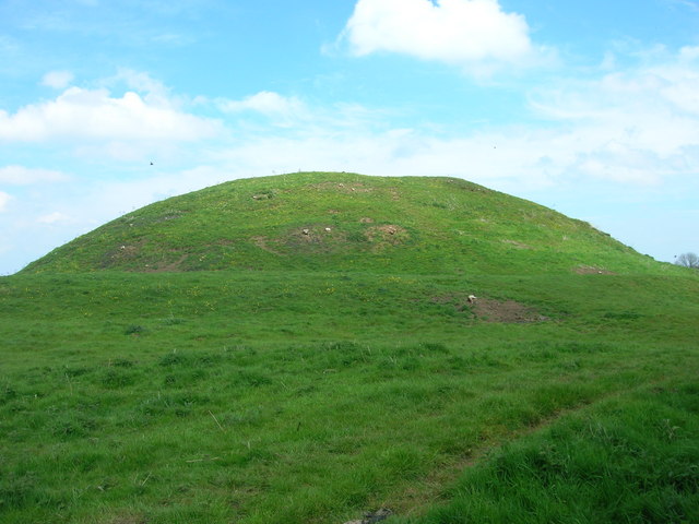
Description
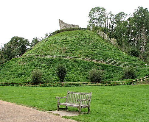
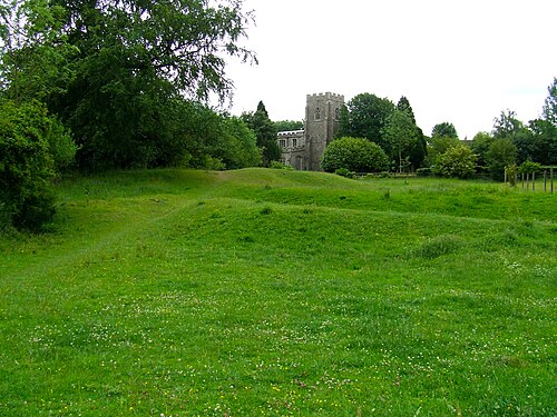
Skipsea Castle was a Norman motte and bailey castle near the village of Skipsea, East Riding of Yorkshire, England. Built around 1086 by Drogo de la Beuvrière, apparently on the remains of an Iron Age mound, it was designed to secure the newly conquered region, defend against any potential Danish invasion and control the trade route across the region leading to the North Sea. The motte and the bailey were separated by Skipsea Mere, an artificial lake that was linked to the sea during the medieval period via a navigable channel. The village of Skipsea grew up beside the castle church, and the fortified town of Skipsea Brough was built alongside the castle around 1160 to capitalise on the potential trade.
In 1221 the castle's owner, William de Forz, the Count of Aumale, rebelled against Henry III; the fortification was captured by royalist forces and the King ordered it to be destroyed. The remains of the castle had little value by the end of the 14th century and Skipsea Brough failed to attract many inhabitants. The castle passed into the control of the state in the early 20th century and various archaeological investigations were carried out between 1987 and 2001. In the 21st century, Skipsea Castle is managed by English Heritage and open to visitors.
Text adapted from “Skipsea Castle” on Wikipedia, CC BY-SA 4.0.
In the rankings
Skipsea Castle ranks #5,312 of 9,902 worldwide in the atlas's castle fame ranking, and #345 of the 397 mapped in England. Founded 1086, it is older than 87% of the atlas's dated landmarks, one of 458 atlas entries founded in the 11th century. See how England compares in the castle statistics.
Castles nearby
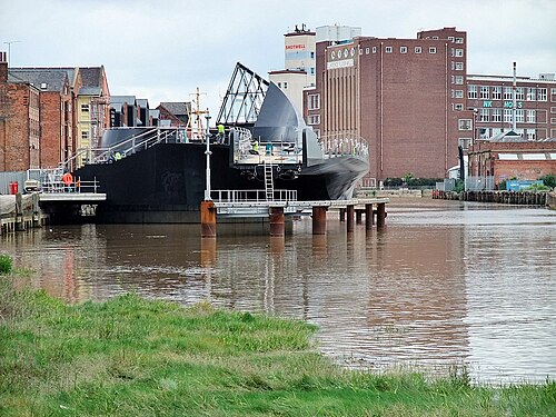
- Hull Castle27 km · England
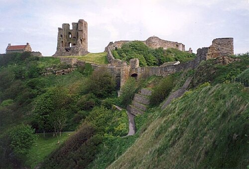
- Scarborough Castle36 km · England
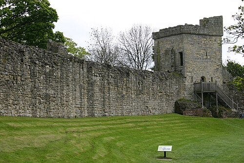
- Pickering Castle47 km · England
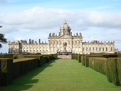
- Castle Howard47 km · England
More castles in England
- Clare CastleEngland · 11th century
- Clavering CastleEngland · 11th century
- Clifford Castle and BarbicanEngland
- Clun CastleEngland