 Armenia · 5th century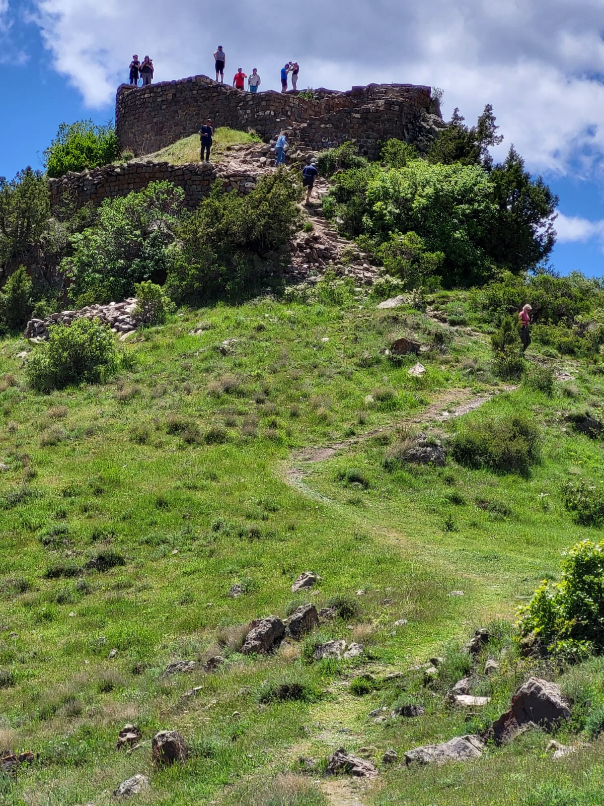
Smbataberd (Armenian: Սմբատաբերդ Armenian pronunciation: [səmbɑtɑˈbɛɾtʰ]) is a medieval fortress located upon the crest of a hill between the villages of Artabuynk and Yeghegis in the Vayots Dzor Province of Armenia. It may have existed as early as the 5th century or earlier, although other sources date it to the 9th to 11th centuries. Its large basalt walls have been well preserved, but much less remains of the structures inside the fortress. It served as the main fortress of the Armenian princes of Syunik when Yeghegis was the seat of the rulers of that province. It was further expanded in the 13th century under the Orbelian dynasty. It is now a notable tourist site in Vayots Dzor.
Text adapted from “Smbataberd” on Wikipedia, CC BY-SA 4.0.
Smbataberd ranks #1,375 of 9,079 worldwide in the atlas's castle fame ranking, and #4 of the 27 mapped in Armenia. Founded c. 450, it is older than 97% of the atlas's dated landmarks — one of 37 atlas entries founded in the 5th century. Its Wikipedia articles were opened 2,517 times in the last 60 days, more than 74% of the atlas. 2 more atlas landmarks stand within 25 km. The nearest day-trip guide is Yerevan, 78 km away. See how Armenia compares in the castle statistics.
View on the interactive castle map →