Fortress
Garni Fortress
🇦🇲 Armenia · 3rd century BC
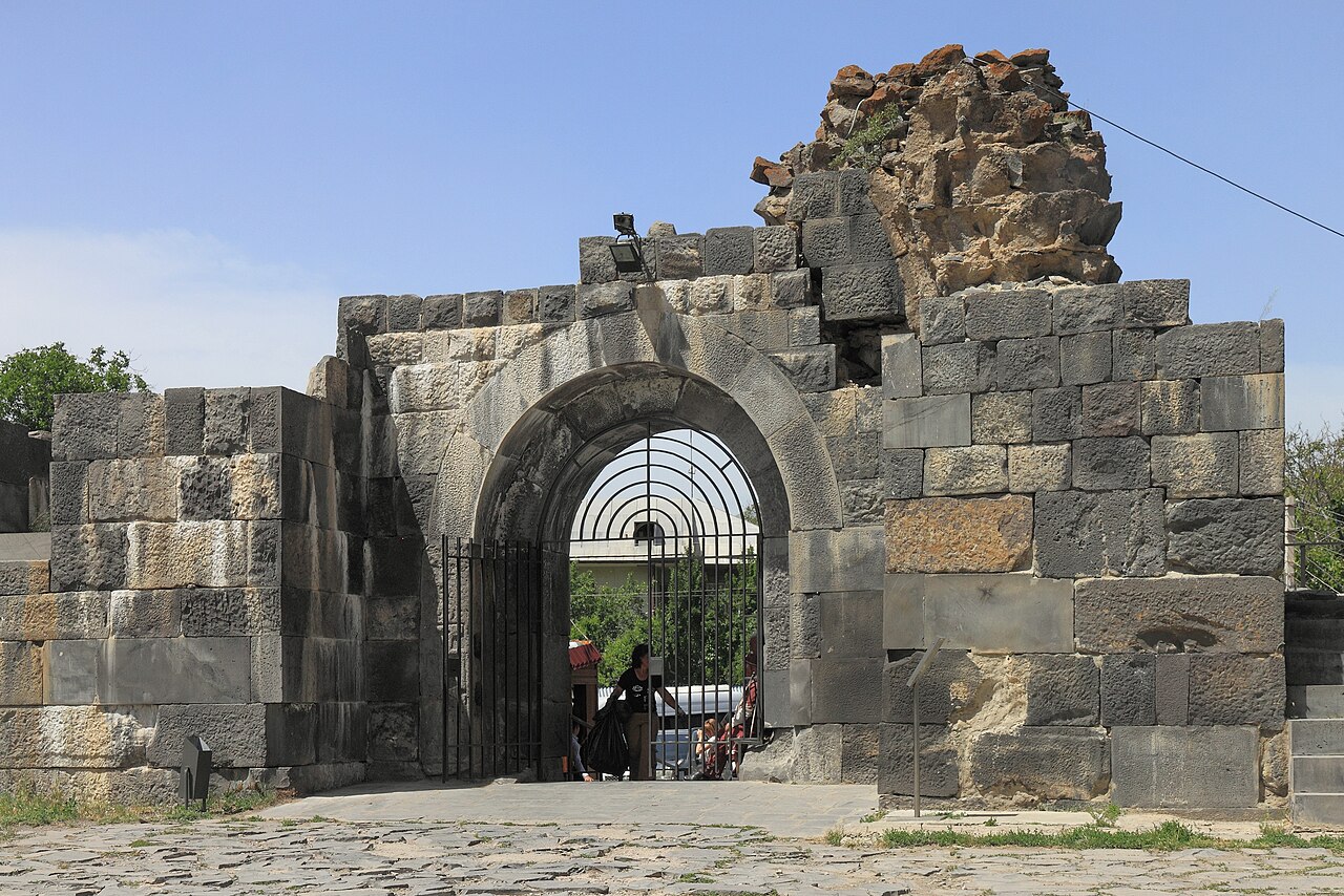
Garni Fortress (Armenian: Գառնիի ամրոց) is an ancient Armenian fortress and settlement in the valley of the Azat River, in the Kotayk province of Armenia, 27–28 km east of Yerevan. It is situated on a rocky promontory dominating the surrounding area, forming a natural triangle, and is skirted by the Azat River. Within the fortress are a Hellenistic temple as well as a number of other historic buildings.
Machine-translated from “Крепость Гарни” on the Russian Wikipedia, CC BY-SA 4.0.
Garni Fortress ranks #6,162 of 8,134 worldwide in the atlas's castle fame ranking, and #22 of the 28 mapped in Armenia. Founded c. 300 BC, it is older than 99% of the atlas's dated landmarks — one of 9 atlas entries founded in the 3rd century BC. 5 more atlas landmarks stand within 25 km. The nearest day-trip guide is Yerevan, 20 km away. See how Armenia compares in the castle statistics.
View on the interactive castle map →Frequently asked questions
Where is Garni Fortress?
Garni Fortress stands in Armenia, at 40.11299°, 44.73002°.
When was Garni Fortress built?
The atlas dates its founding to c. 300 BC. Earlier structures may have stood on the site; this is the earliest documented founding year.
How famous is Garni Fortress?
In this atlas's fame ranking: #6,162 of 8,134 worldwide, and #22 in Armenia. Fame here combines how many Wikipedia language editions cover a landmark with how many people read them.
What is the nearest castle to Garni Fortress?
Kakavaberd, about 1 km away.
More castles in Armenia
- Oshakan Armenia
- Teishebaini (Karmir Blur) Armenia
- Amberd Armenia · 10th century
- Smbataberd Armenia · 5th century
More fortresses
- Ufa Kremlin Russia · 16th century
- Fort 5 - King Frederick Wilhelm III Russia
- Fort van den Bosch Indonesia
- Fort Dona Maria II China · 19th century