 China · 19th century
Stanley Fort ranks #5,632 of 9,040 worldwide in the atlas's castle fame ranking, and #57 of the 103 mapped in China. Founded 1841, it is older than 9% of the atlas's dated landmarks, one of 705 atlas entries founded in the 19th century. 4 more atlas landmarks stand within 25 km. The nearest day-trip guide is Hong Kong, 11 km away. See how China compares in the castle statistics.
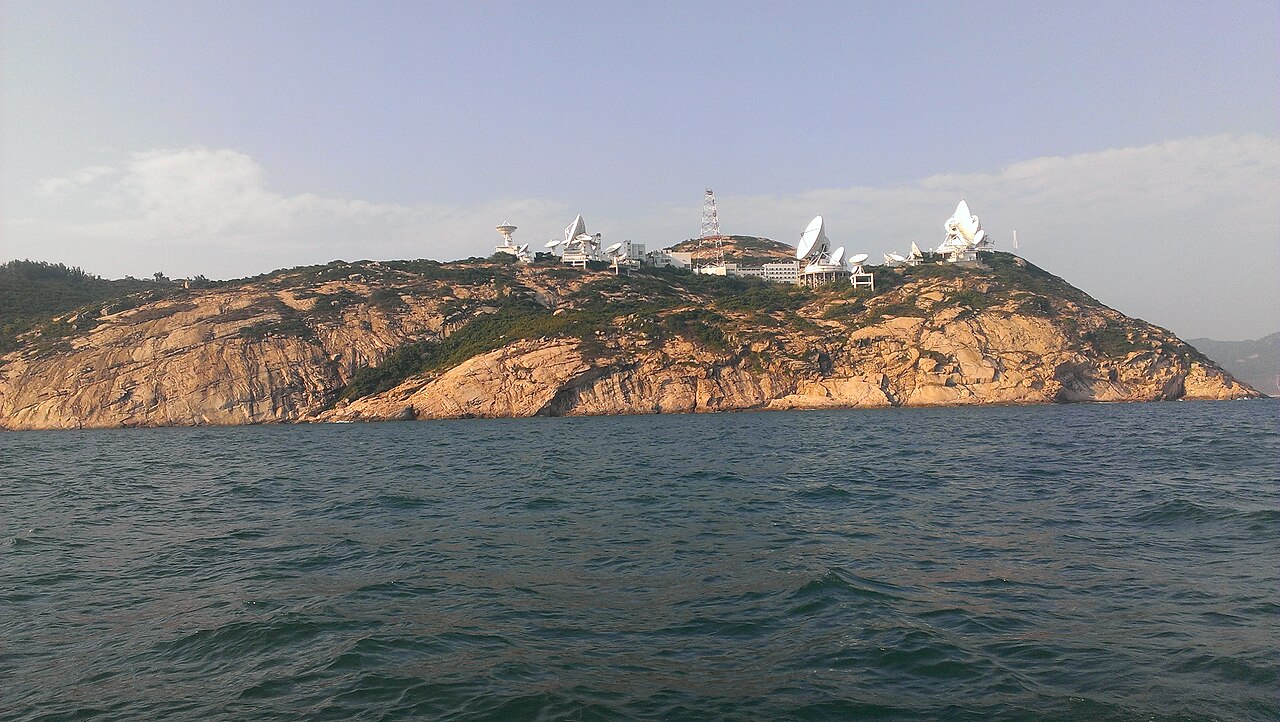
Stanley Fort (Chinese: 赤柱炮台) is both an area and a fort on Hong Kong Island in Hong Kong, situated at the southern end of Stanley Peninsula, near the town of Stanley (赤柱, Chek Chue). It lies just south of the peak of Che Pau Teng and includes the headland of Wong Ma Kok. The area is mainly occupied by Chek Chue Barracks and the Hong Kong Earth Station. In 2000, the area was redesignated as a military zone, with the Stanley Fort Gate bus terminus located just outside the barracks entrance.
Text adapted from “Stanley Fort” on Wikipedia, CC BY-SA 4.0.
View on the interactive castle map →