 Scotland · 5th century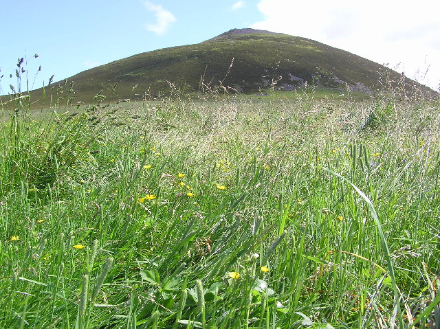
The Tap o' Noth is a hill and the name of a hillfort on its summit, 8 miles south of Huntly in Aberdeenshire, Scotland at grid reference NJ485293. It is the second highest fort in Scotland and its main feature is its well-preserved vitrified wall which encloses an area of approximately 100 m by 30 m, 0.3 hectares. Archaeological finds from the site include a stone axe head dated to between c. 2000 BC– c.800 BC, and a decorated bronze rein-ring dated to the 1st–3rd century AD. The site has been designated a scheduled monument.
The vitrified fort is the centre of a settlement within another rampart which encloses a much larger area of some 7 hectares. This outer rampart was constructed in the fifth to sixth centuries AD; large scale settlement within the area may date back as far as the third century AD, contemporary with the Pictish culture.
The antiquarian James Macdonald led an archaeological excavation of the vitrified fort on the summit of Tap o' Noth in the 1880s. An archaeological investigation of the summit fort, the rampart of the larger later fort and some of the Pictish period house platforms within it was undertaken by the University of Aberdeen's Northern Picts: Rhynie Environs Project between 2017 and 2022.
Drone photographs and lidar surveys suggest that there may have been as many as 800 huts, many in groups with a larger hut at the centre of the group. It has been described as the largest known settlement in early-Medieval (post-Roman) Britain.
In the nearby valley, the Pictish image of Rhynie Man on a standing stone has been found on Barflat farm. A post-Roman settlement has been discovered in the valley, with evidence for the consumption of wine from the Mediterranean, the use of glass vessels from western France, and intensive metalwork production. This is interpreted as signs of high social status, possibly with royal connections.
Text adapted from “Tap o' Noth” on Wikipedia, CC BY-SA 4.0.
Tap o' Noth ranks #3,258 of 9,079 worldwide in the atlas's castle fame ranking, and #113 of the 226 mapped in Scotland. Founded c. 450, it is older than 97% of the atlas's dated landmarks — one of 37 atlas entries founded in the 5th century. Its Wikipedia articles were opened 1,503 times in the last 60 days, more than 62% of the atlas. 6 more atlas landmarks stand within 25 km. The nearest day-trip guide is Aberdeen, 51 km away. It is one of the 30 landmarks on the atlas's regional map of Aberdeenshire. It is stop 13 of 23 on the Aberdeenshire castle trail, Stonehaven to Aberdeen. See how Scotland compares in the castle statistics.
View on the interactive castle map →