 England · 12th century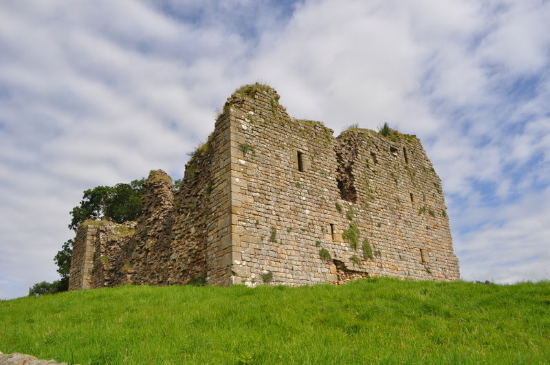
Thirlwall Castle is a 12th-century castle in Northumberland, England, on the bank of the River Tipalt close to the village of Greenhead and approximately 20 miles (32 km) west of Hexham. It was built in the 12th century, and later strengthened using stones from nearby Hadrian's Wall, but began to fall into disrepair in the 17th century. The site is protected by Grade I listed building and Scheduled Ancient Monument status.
Text adapted from “Thirlwall Castle” on Wikipedia, CC BY-SA 4.0.
Thirlwall Castle ranks #5,122 of 9,079 worldwide in the atlas's castle fame ranking, and #316 of the 360 mapped in England. Founded c. 1150, it is older than 80% of the atlas's dated landmarks — one of 756 atlas entries founded in the 12th century. 14 more atlas landmarks stand within 25 km. The nearest day-trip guide is Newcastle upon Tyne, 59 km away. See how England compares in the castle statistics.
View on the interactive castle map →