 Croatia · 1st century
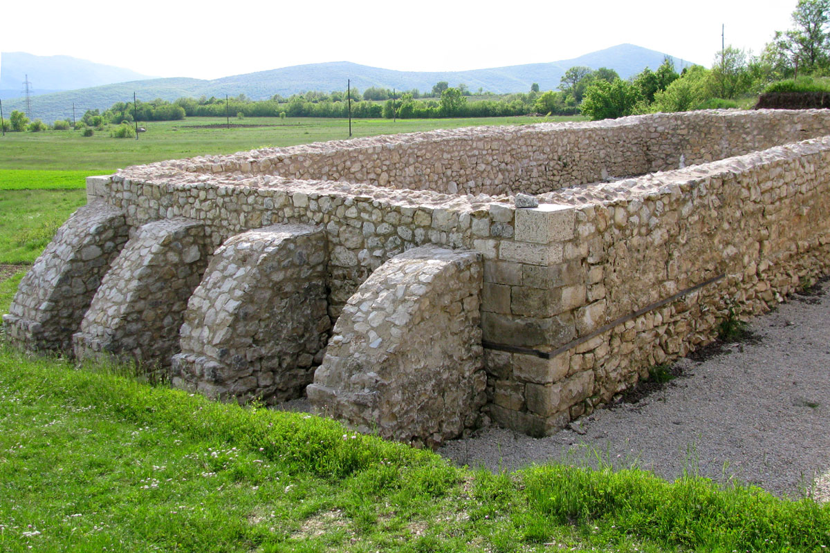
Tilurium ranks #5,322 of 9,040 worldwide in the atlas's castle fame ranking, and #47 of the 79 mapped in Croatia. Founded c. 50, it is older than 98% of the atlas's dated landmarks, one of 33 atlas entries founded in the 1st century. 6 more atlas landmarks stand within 25 km. The nearest day-trip guide is Split, 25 km away. It is one of the 32 landmarks on the atlas's regional map of Dalmatia. See how Croatia compares in the castle statistics.
Tilurium was an ancient settlement and military site located at Gardun above the modern town of Trilj in Croatia. Originally an Illyrian hill-fort of the Delmatae tribe, it later became a major Roman legionary fortress and continued as a fortified post into Late Antiquity. Tilurium occupied a plateau on the northeast side of the Cetina River (ancient Hippos), strategically commanding the river crossing known as Pons Tiluri, the Tilurium Bridge. The site covered approximately 12 hectares, and the modern village of Gardun sits over its remains.
The camp was a key military centre in Dalmatia. At first, the 9th Hispanic legion (Legio IX Hispana) was stationed there, then the 7th Roman legion (Legio VII Claudia Pia Fidelis). At this location, workshops specialized in stone masonry crafted tombstones and other monuments for the 7th legion.
Text adapted from “Tilurium” on Wikipedia, CC BY-SA 4.0.
View on the interactive castle map →