 India
India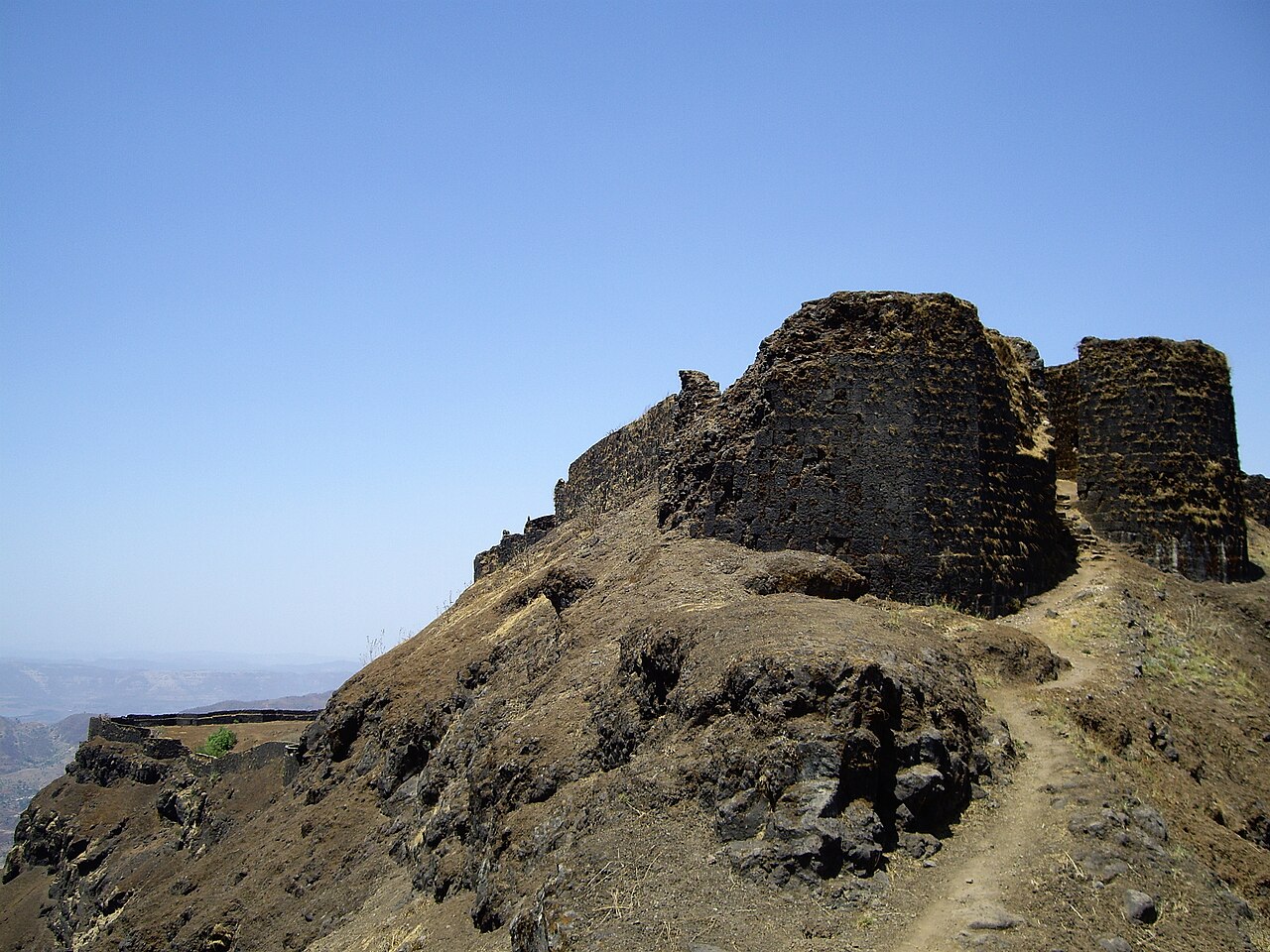
Torna Fort, also known as Prachandagad, is a large fort located in Pune district, in the Indian state of Maharashtra. It is historically significant because it was the first fort captured by Chhatrapati Shivaji Maharaj in 1646, at the age of 16. The hill has an elevation of 1,403 metres (4,603 ft) above sea level, making it the highest hill-fort in the district. The name derives from Prachanda (Marathi for huge or massive) and gad (Marathi for fort).
Text adapted from “Torna Fort” on Wikipedia, CC BY-SA 4.0.
Torna Fort ranks #1,617 of 9,079 worldwide in the atlas's castle fame ranking, and #66 of the 224 mapped in India. Its Wikipedia articles were opened 5,730 times in the last 60 days, more than 88% of the atlas. 3 more atlas landmarks stand within 25 km. The nearest day-trip guide is Pune, 37 km away. See how India compares in the castle statistics.
View on the interactive castle map →