 Canada · 18th century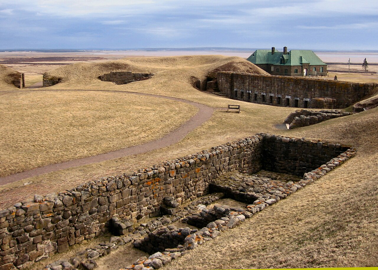
Fort Beauséjour (French pronunciation: [fɔʁ boseʒuʁ]), renamed Fort Cumberland in 1755, is a large, five-bastioned fort on the Isthmus of Chignecto in eastern Canada, a neck of land connecting the present-day province of New Brunswick with that of Nova Scotia. The site was strategically important in Acadia, a French colony that included primarily the Maritimes, the eastern part of Quebec, and northern Maine of the later United States. The fort was built by the French from 1751 to 1752. They surrendered it to the British in 1755 after their defeat in the Battle of Fort Beauséjour, during the Seven Years' War. The British renamed the structure as Fort Cumberland.
The fort was strategically important throughout the Anglo-French rivalry of 1749–63, known as the French and Indian Wars by British colonists. Less than a generation later, it was the site of the 1776 Battle of Fort Cumberland, when the British forces repulsed sympathisers of the American Revolution.
Since 1920 the site has been designated as a National Historic Site of Canada, named the Fort Beauséjour – Fort Cumberland National Historic Site. Portions of the fort have been restored, and a museum and visitor facilities were added to the site. It attracts about 6000 visitors annually.
Text adapted from “Fort Beauséjour” on Wikipedia, CC BY-SA 4.0.
Fort Beauséjour ranks #1,736 of 9,035 worldwide in the atlas's castle fame ranking, and #6 of the 26 mapped in Canada. Founded 1751, it is older than 16% of the atlas's dated landmarks, one of 685 atlas entries founded in the 18th century. Its Wikipedia articles were opened 4,501 times in the last 60 days, more than 85% of the atlas. See how Canada compares in the castle statistics.
View on the interactive castle map →