 Israel · 1st century BC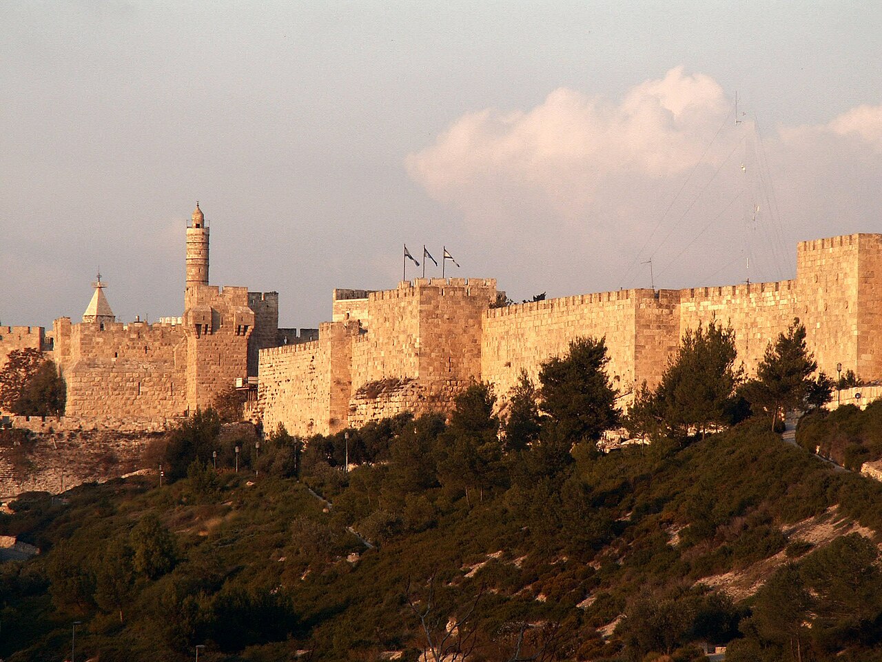
The Walls of Jerusalem (Hebrew: חומות ירושלים, Arabic: أسوار القدس) surround the Old City of Jerusalem (approx. 1 km2). In 1535, when Jerusalem was part of the Ottoman Empire, Sultan Suleiman the Magnificent ordered the ruined city walls to be rebuilt. The walls were constructed between 1537 and 1541. The walls are visible on most old maps of Jerusalem over the last 500 years.
The length of the walls is 4,018 meters (2.497 miles), their average height is 12 meters (39 feet) and the average thickness is 2.5 meters (8.2 feet). The walls contain 34 watchtowers and seven main gates open for traffic, with two minor gates reopened by archaeologists.
In 1981, the Jerusalem walls were added, along with the Old City of Jerusalem, to the UNESCO World Heritage Site list.
Text adapted from “Walls of Jerusalem” on Wikipedia, CC BY-SA 4.0.
Walls of Jerusalem ranks #303 of 9,079 worldwide in the atlas's castle fame ranking, and #3 of the 23 mapped in Israel. Founded 19 BC, it is older than 98% of the atlas's dated landmarks — one of 16 atlas entries founded in the 1st century BC. Its Wikipedia articles were opened 12,506 times in the last 60 days, more than 95% of the atlas. 7 more atlas landmarks stand within 25 km. The nearest day-trip guide is Jerusalem, 1 km away. It is one of the 106 landmarks on the atlas's regional map of the Levant. See how Israel compares in the castle statistics.
View on the interactive castle map →