Ruin
Montfort Castle
 Israel · 13th century
- Founded
- 1228
- Location
- Northern District
- Coordinates
- 33.04472°, 35.22611°
- Open data
- Wikidata Q14201945
- Links
- OpenStreetMap · Wikimedia Commons
Description
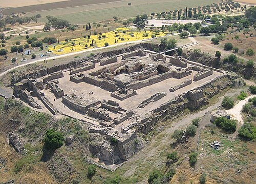
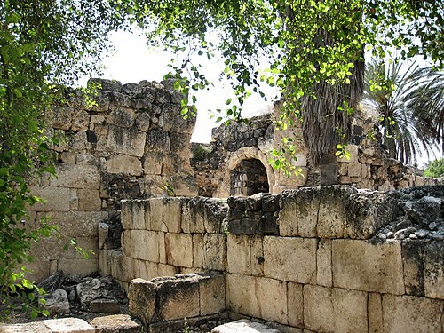
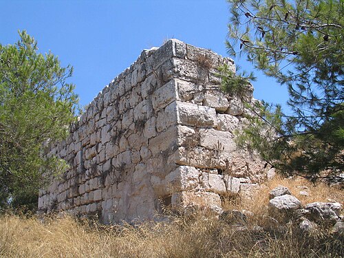
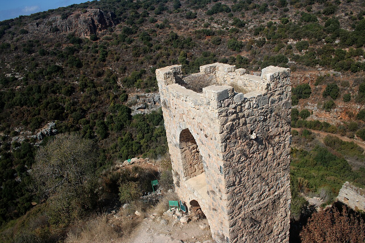
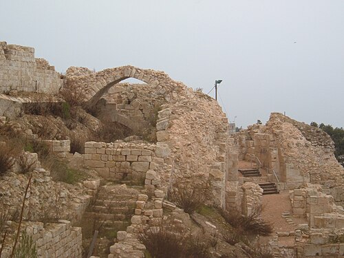
Montfort (Hebrew: מבצר מונפור, Mivtzar Monfor; Arabic: قلعة القرين, Qal'at al-Qurain or Qal'at al-Qarn - "Castle of the Little Horn" or "Castle of the Horn"; German: Burg Starkenberg) is a ruined Crusader castle in the Upper Galilee region in northern Israel, about 22 miles (35 km) northeast of the city of Haifa and 10 miles (16 km) south of the border with Lebanon.
The site is now a national park inside the Nahal Kziv nature reserve, and is an important tourist destination attracting many visitors from inside and outside Israel.
Text adapted from “Montfort Castle” on Wikipedia, CC BY-SA 4.0.
In the rankings
Montfort Castle ranks #652 of 9,902 worldwide in the atlas's castle fame ranking, and #5 of the 24 mapped in Israel. Founded 1228, it is older than 73% of the atlas's dated landmarks, one of 1134 atlas entries founded in the 13th century. Its Wikipedia articles were opened 6,366 times in the last 60 days, more than 91% of the atlas. 3 more atlas landmarks stand within 25 km. The nearest day-trip guide is Tyre, 25 km away. It is one of the 108 landmarks on the atlas's regional map of the Levant. See how Israel compares in the castle statistics.
Castles nearby
- King's Castle4 km · Israel
- Citadel of Acre20 km · Israel
- Toron
 24 km · Lebanon
- Safed Fortress27 km · Israel
More castles in Israel
- Belvoir FortressIsrael · 12th century
- Khirbat al-MinyaIsrael · 8th century
- Château PèlerinIsrael · 13th century
- QulaIsrael · 12th century