Castle
Acrocorinth
 Greece · 7th century BC
- Founded
- c. 700 BC
- Style
- Byzantine architecture
- Heritage status
- archaeological site in Greece
- Location
- Corinth Municipality
- Elevation
- 575 m
- Coordinates
- 37.89142°, 22.87092°
- Open data
- Wikidata Q420810
- Links
- OpenStreetMap · Wikimedia Commons
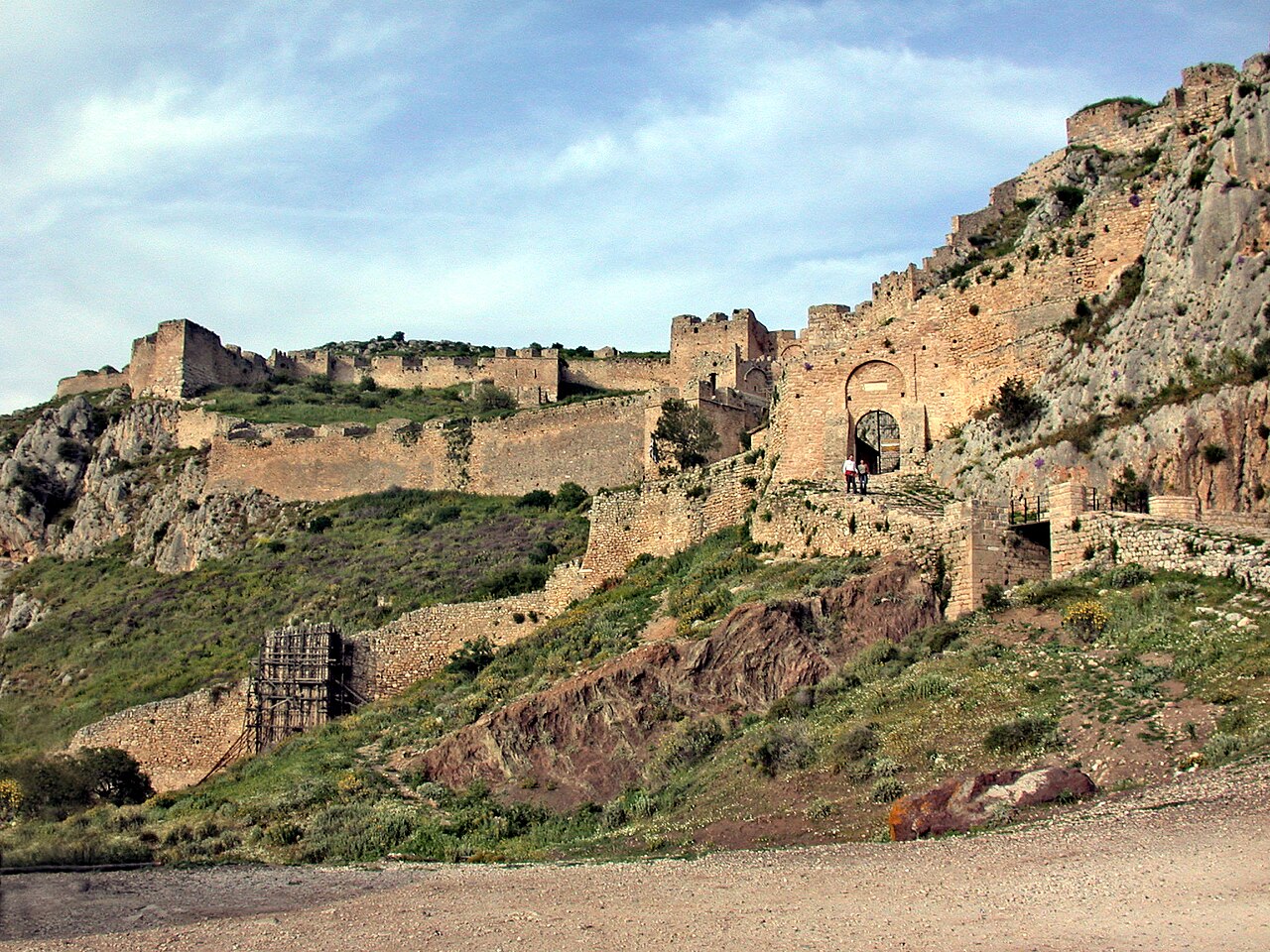
Description
Acrocorinth (Greek: Ακροκόρινθος, lit. 'Upper Corinth' or 'the acropolis of ancient Corinth') is a monolithic rock overlooking the ancient city of Corinth, Greece. In the estimation of George Forrest, "It is the most impressive of the acropolis of mainland Greece."
With its secure water supply, Acrocorinth's fortress was repeatedly used as a last line of defense in southern Greece because it commanded the Isthmus of Corinth, repelling foes from entry by land into the Peloponnese peninsula.
Text adapted from “Acrocorinth” on Wikipedia, CC BY-SA 4.0.
In the rankings
Acrocorinth ranks #277 of 9,902 worldwide in the atlas's castle fame ranking, and #8 of the 133 mapped in Greece. Founded c. 700 BC, it is older than 99% of the atlas's dated landmarks, one of 9 atlas entries founded in the 7th century BC. Its Wikipedia articles were opened 12,592 times in the last 60 days, more than 96% of the atlas. 1 more atlas landmarks stand within 25 km. The nearest day-trip guide is Athens, 76 km away. It is one of the 34 landmarks on the atlas's regional map of the Peloponnese. See how Greece compares in the castle statistics.
Castles nearby
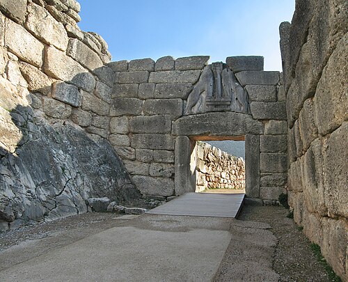
- Mycenae21 km · Greece
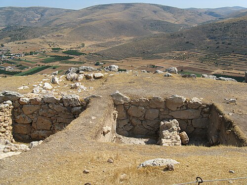
- Midea (citadel)25 km · Greece
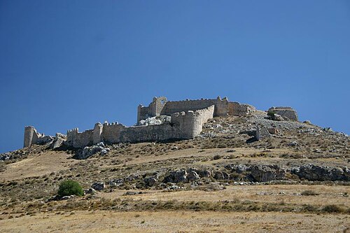
- Larissa Fortress31 km · Greece
- Castle of Piada33 km · Greece
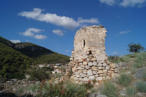
More castles in Greece
- White Tower of ThessalonikiGreece · 15th century
- Palace of ZakrosGreece · 19th century BC
- Palace of the Grand Master of the Knights of RhodesGreece · 14th century
- Old Royal PalaceGreece · 19th century