 Albania · 13th century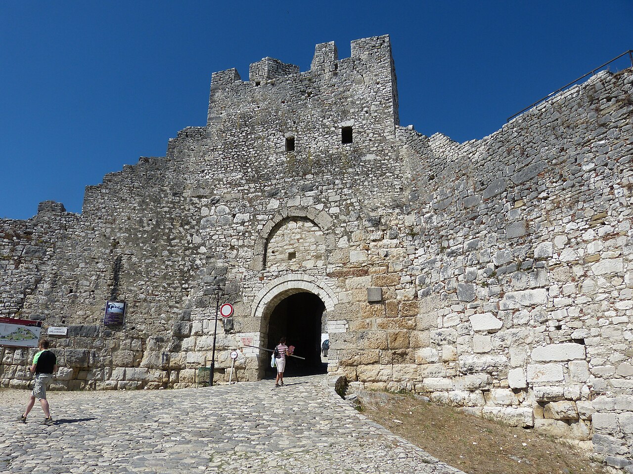
Berat Castle (Albanian: Kalaja e Beratit), also referred to as the Citadel of Berat and castle quarter, is a fortress overlooking the town of Berat, Albania. It dates mainly from the 13th century and contains many Byzantine-era Albanian Orthodox churches in the area and Ottoman-era mosques. It is built on a rocky hill on the right bank of the river Osum and is accessible only from the south. It is situated at an elevation of 214 metres (702 ft).
Text adapted from “Berat Castle” on Wikipedia, CC BY-SA 4.0.
Berat Castle ranks #771 of 9,079 worldwide in the atlas's castle fame ranking, and #2 of the 27 mapped in Albania. Founded c. 1250, it is older than 67% of the atlas's dated landmarks — one of 1080 atlas entries founded in the 13th century. Its Wikipedia articles were opened 6,220 times in the last 60 days, more than 89% of the atlas. 1 more atlas landmarks stand within 25 km. The nearest day-trip guide is Vlorë, 48 km away. See how Albania compares in the castle statistics.
View on the interactive castle map →