 Israel · 9th century
Cafarlet ranks #6,029 of 9,040 worldwide in the atlas's castle fame ranking, and #18 of the 23 mapped in Israel. Founded c. 850, it is older than 94% of the atlas's dated landmarks, one of 85 atlas entries founded in the 9th century. 2 more atlas landmarks stand within 25 km. The nearest day-trip guide is Hadera, 21 km away. It is one of the 105 landmarks on the atlas's regional map of the Levant. See how Israel compares in the castle statistics.
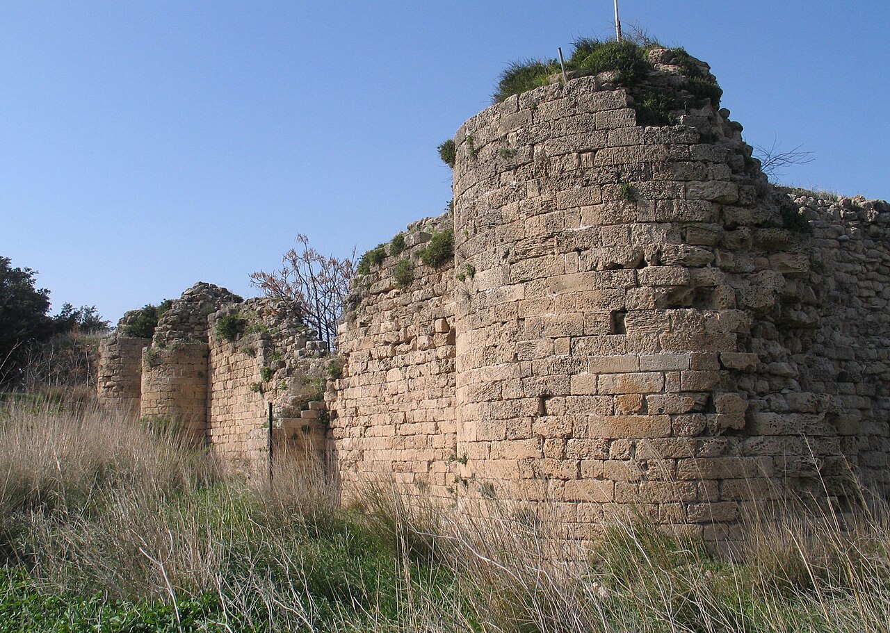
Cafarlet or Capharleth (Crusader name) or Kafr Lam (Arabic name) is an Early Muslim coastal fortress of the Roman castrum type. Today it is located inside Moshav HaBonim, Israel, on lands of the now abandoned Arab village of Kafr Lam. It was built in the 8th or 9th century, during the Umayyad or Abbasid period to serve as a ribat against Byzantine attacks, and was significantly modified and reused by the Crusaders. It is one of the few surviving ancient fortifications in Israel featuring round watchtowers, indicating the fortress' origins predate the crusader era. Most surviving ancient fortifications in the region feature rectangular watchtowers, typical of the style prevalent in Europe during the time of the crusaders.
Text adapted from “Cafarlet” on Wikipedia, CC BY-SA 4.0.
View on the interactive castle map →