 England · 11th century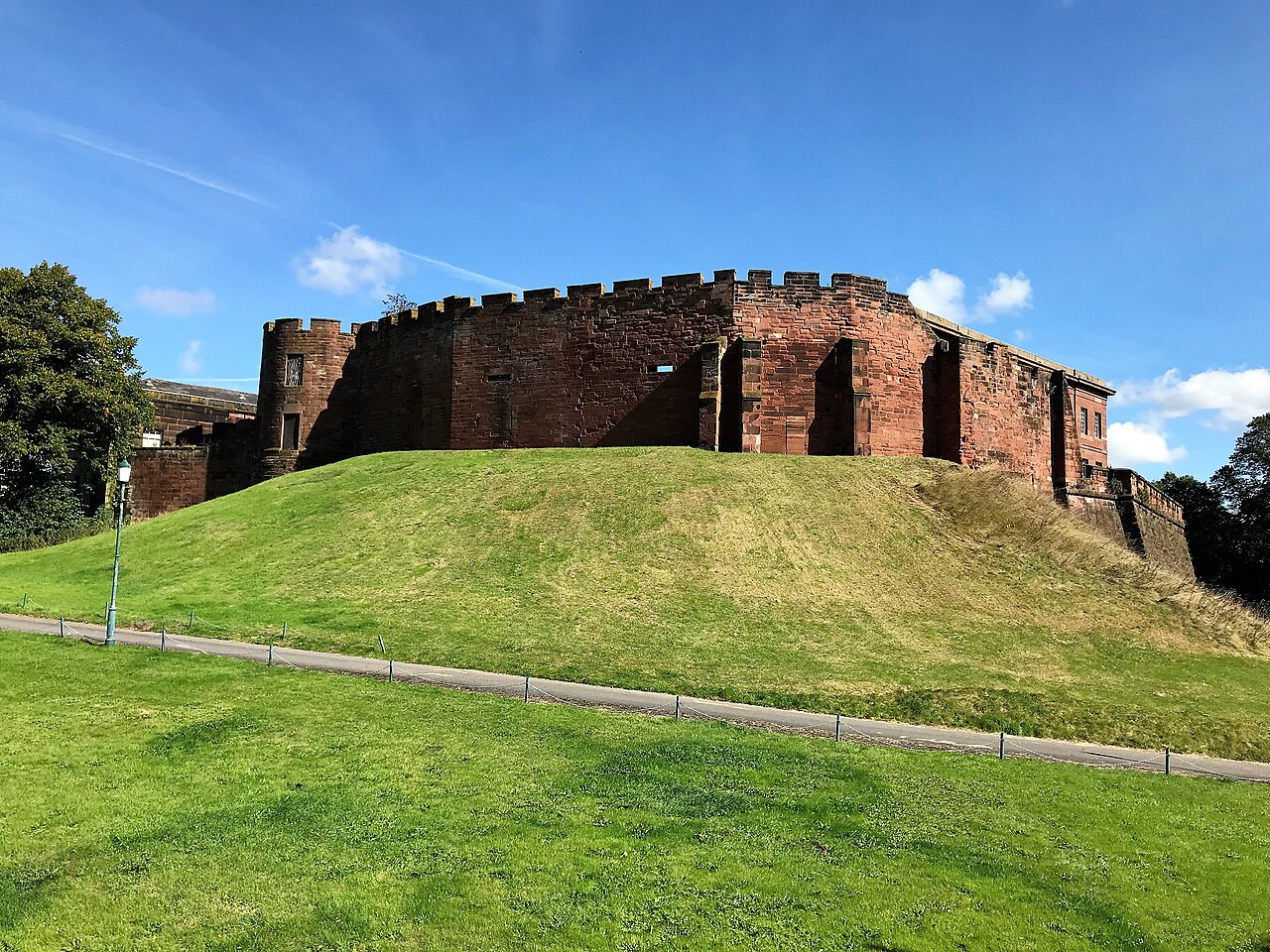
Chester Castle is in the city of Chester, Cheshire, England. It is sited at the southwest extremity of the area bounded by the city walls. The castle stands on an eminence overlooking the River Dee. In the castle complex are the remaining parts of the medieval castle together with the neoclassical buildings designed by Thomas Harrison which were built between 1788 and 1813. Parts of the neoclassical buildings are used today by the Crown Court and as a military museum. The museum and the medieval remains are a tourist attraction.
Text adapted from “Chester Castle” on Wikipedia, CC BY-SA 4.0.
Chester Castle ranks #1,488 of 9,079 worldwide in the atlas's castle fame ranking, and #98 of the 360 mapped in England. Founded 1069, it is older than 88% of the atlas's dated landmarks — one of 436 atlas entries founded in the 11th century. Its Wikipedia articles were opened 3,132 times in the last 60 days, more than 79% of the atlas. 10 more atlas landmarks stand within 25 km. The nearest day-trip guide is Wrexham, 17 km away. See how England compares in the castle statistics.
View on the interactive castle map →