 Wales · 13th century
Ewloe Castle ranks #3,887 of 9,040 worldwide in the atlas's castle fame ranking, and #72 of the 107 mapped in Wales. Founded 1257, it is older than 66% of the atlas's dated landmarks, one of 1091 atlas entries founded in the 13th century. 9 more atlas landmarks stand within 25 km. The nearest day-trip guide is Wrexham, 18 km away. It is one of the 27 landmarks on the atlas's regional map of North Wales. See how Wales compares in the castle statistics.
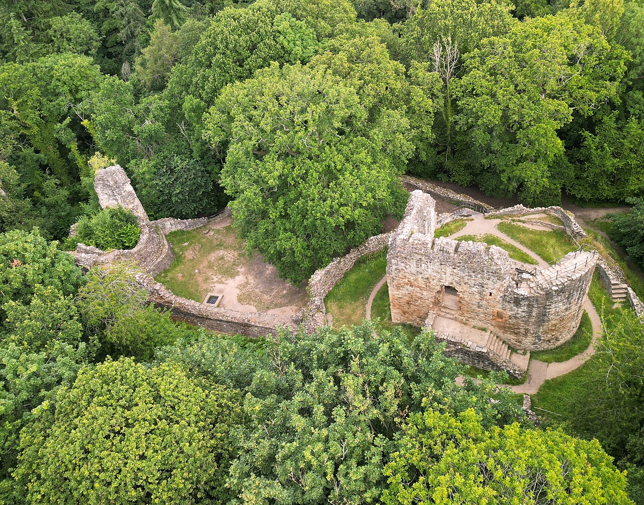
Ewloe Castle (Welsh: Castell Ewloe) is a native Welsh castle built by the Kingdom of Gwynedd near the village of Ewloe in Flintshire, Wales. The castle, which was one of the last fortifications to be built by the native Princes of Wales, was abandoned at the beginning of the invasion of Wales by Edward I in 1277. Using locally quarried sandstone, its construction appears to have continued piecemeal over many years and may have not been completed. On taking the castle, the English Crown gave it little military value and allowed it to fall into ruin.
Ewloe was sited on high ground within Tegeingl, a cantref in the Perfeddwlad, the lands of north-east Wales. Standing near the Chester road, it maintained a strategic position near the Wales–England border. The castle is on a steeply sloped promontory within a forested valley. It overlooks the junction of two streams with higher ground to the south.
Text adapted from “Ewloe Castle” on Wikipedia, CC BY-SA 4.0.
View on the interactive castle map →