Castles near Wrexham
68 castles, fortresses, palaces and ruins within 100 km of the city centre — every one on the interactive map, with photos, distances and directions.
The closest is Caergwrle Castle , 7 km north-west of the city centre; the most famous is Caernarfon Castle — #148 of 9,079 worldwide — 86 km west. The oldest dated site in the circle is Chester city walls , founded 70.
The 100 km circle reaches into 2 countries — Wales (34), England (34).
Within 100 km 68 landmarks
By type 30 castles · 4 fortresses · 3 palaces & châteaux · 31 ruins
Countries Wales 34 · England 34
City 61,603 residents
Within 25 km of Wrexham
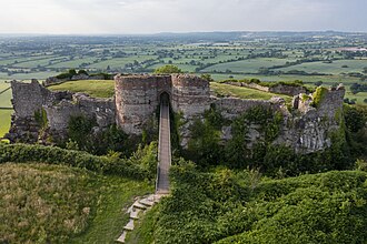
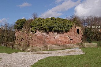
Beeston Castle 22 km north-east · Ruin
Beeston Castle is a former Royal castle in Beeston, Cheshire, England, perched on a rocky sandstone crag 350 feet above the Cheshire Plain.
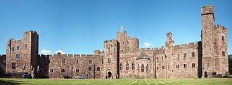
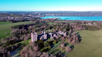
Peckforton Castle 21 km east · Palace & château
Peckforton Castle is a Victorian country house built in the style of a medieval castle.
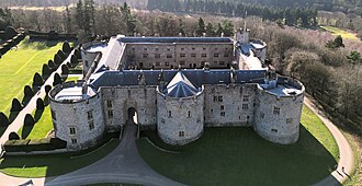
Chirk Castle 14 km south-west · Castle
Chirk Castle is a Grade I listed castle located in Chirk, Wrexham County Borough, Wales, 1.5 mi from Chirk railway station, now owned and run by the…
Castra Deva Victrix 17 km north-east · Fortress
Deva Victrix, or simply Deva, was a legionary fortress and town in the Roman province of Britannia on the site of the modern city of Chester.
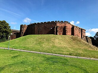
Chester Castle 17 km north-east · Castle
Chester Castle is in the city of Chester, Cheshire, England. It is sited at the southwest extremity of the area bounded by the city walls.
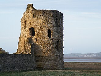
Flint Castle 25 km north · Castle
Flint Castle in Flint, Flintshire, was the first of a series of castles built during King Edward I's campaign to conquer Wales.
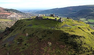
Castell Dinas Brân 13 km south-west · Ruin
Castell Dinas Brân is a medieval castle, built by the Princes of Powys Fadog, which occupies a prominent hilltop site above the town of Llangollen in…
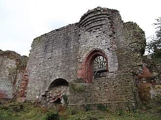
Holt Castle 8 km north-east · Ruin
Holt Castle was a medieval castle on the Welsh–English border, by the banks of the River Dee, in the village of Holt, Wrexham County Borough, Wales.
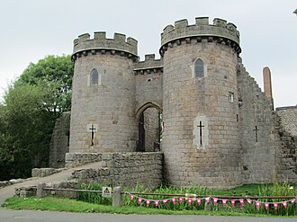
Whittington Castle 19 km south · Castle
Whittington Castle is a castle in northern Shropshire, England. The castle was originally a motte-and-bailey castle, but this was replaced in the…
Ruthin Castle 22 km west · Castle
Ruthin Castle is a medieval castle fortification in Wales, near the town of Ruthin in the Vale of Clwyd.
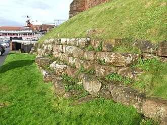
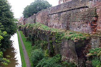
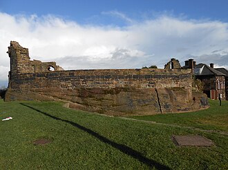
Chester city walls 17 km north-east · Fortress
Chester city walls consist of a defensive structure built to protect the city of Chester in Cheshire, England.
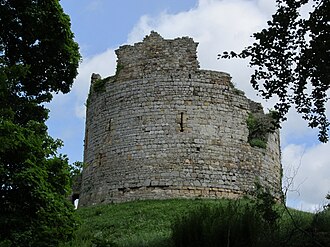
Hawarden Old Castle 15 km north · Ruin
Hawarden Old Castle is a Grade I listed medieval castle near Hawarden, Flintshire, Wales.
+ 2 more in this range — every one is on the interactive map .
Day trips: 25–60 km
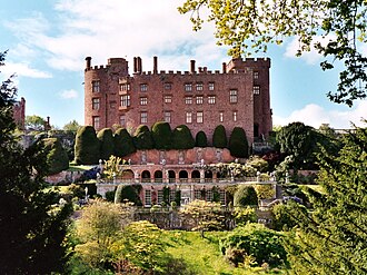
Powis Castle 46 km south · Castle
Powis Castle is a medieval castle, fortress and grand country house near Welshpool, in Powys, Wales.
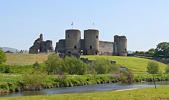
Rhuddlan Castle 41 km north-west · Ruin
Rhuddlan Castle is a castle located in Rhuddlan, Denbighshire, Wales. It was chosen as the location of a castle by Edward I in 1277.
Halton Castle 38 km north-east · Ruin
Halton Castle is a castle in the village of Halton, part of the town of Runcorn, Cheshire, England.
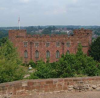
Shrewsbury Castle 41 km south-east · Castle
Shrewsbury Castle is a red sandstone castle in Shrewsbury, Shropshire, England.
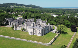
Bodelwyddan Castle 41 km north-west · Castle
Bodelwyddan Castle, close to the village of Bodelwyddan, near Rhyl, Denbighshire in Wales, was built around 1460 by the Humphreys family of Anglesey…
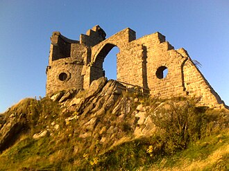
Mow Cop Castle 53 km east · Castle
Mow Cop Castle is a folly at Mow Cop in the civil parish of Odd Rode, Cheshire, England.
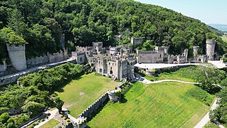
Gwrych Castle 49 km north-west · Palace & château
Gwrych Castle is a Grade I listed country house near Abergele in Conwy County Borough, Wales.
Denbigh Castle 32 km north-west · Ruin
Denbigh Castle and town walls were built to control the lordship of Denbigh after the Conquest of Wales by Edward I of England in 1282.
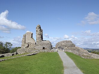
Montgomery Castle 55 km south · Ruin
Montgomery Castle is a stone castle looking over the town of Montgomery in Powys, Mid Wales.
Gwydir Castle 55 km west · Castle
Gwydir Castle is in the Conwy valley, Wales, a mile west of the market town of Llanrwst and 1.5 miles south of the large village of Trefriw.
Sycharth Castle 28 km south-west · Ruin
Sycharth was a motte and bailey castle near Llansilin, Powys, Wales. Until 1996 Sycharth was in the historic county of Denbighshire, but was then…
Moreton Corbet Castle 35 km south-east · Ruin
Moreton Corbet Castle is a ruined medieval castle and Elizabethan era manor house, located near the village of Moreton Corbet, Shropshire, England.
+ 5 more in this range — every one is on the interactive map .
Farther afield: 60–100 km
Caernarfon Castle 86 km west · Castle · #148 worldwide
Caernarfon Castle is a medieval fortress in Gwynedd, north-west Wales. The first fortification on the site was a motte-and-bailey castle built in the…
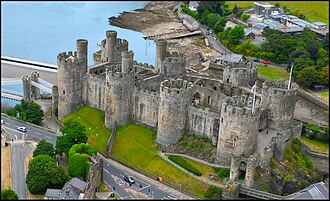
Conwy Castle 61 km north-west · Castle · #171 worldwide
Conwy Castle is a fortification in Conwy, located in North Wales. It was built by Edward I, during his conquest of Wales, between 1283 and 1287.
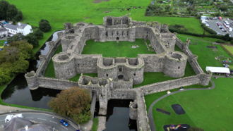
Beaumaris Castle 77 km west · Castle · #299 worldwide
Beaumaris Castle, in Beaumaris, Anglesey, Wales, was built as part of Edward I's campaign to conquer north Wales after 1282.
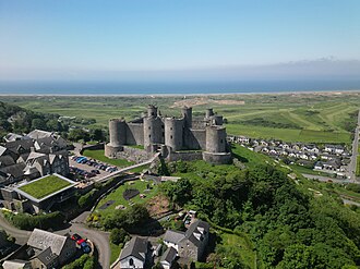
Harlech Castle 78 km west · Castle · #331 worldwide
Harlech Castle in Harlech, Gwynedd, Wales, is a Grade I listed medieval fortification built onto a rocky knoll close to the Irish Sea.
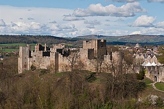
Ludlow Castle 78 km south · Ruin · #362 worldwide
Ludlow Castle is a ruined medieval fortification in the town of Ludlow in the English county of Shropshire, standing on a promontory overlooking the…
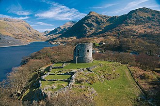
Dolbadarn Castle 75 km west · Ruin
Dolbadarn Castle is a fortification built by the Welsh prince Llywelyn the Great during the early 13th century, at the base of the Llanberis Pass, in…
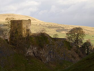
Peveril Castle 87 km east · Ruin
Peveril Castle is a ruined 11th-century castle overlooking the village of Castleton in the English county of Derbyshire.
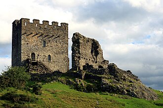
Dolwyddelan Castle 61 km west · Ruin
Dolwyddelan Castle is a thirteenth-century castle located west of Dolwyddelan in Conwy County Borough, Wales.
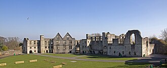
Dudley Castle 85 km south-east · Ruin
Dudley Castle is a ruined fortification in the town of Dudley, West Midlands, England.
Stokesay Castle 69 km south · Castle
Stokesay Castle is one of the finest surviving fortified manor houses in England, and situated at Stokesay in Shropshire.
Criccieth Castle 84 km west · Ruin
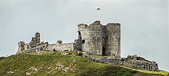
Criccieth Castle is a ruined thirteenth-century castle in Criccieth, Gwynedd, Wales.
Penrhyn Castle 76 km west · Castle
Penrhyn Castle is a country house in Llandygai, Bangor, Gwynedd, North Wales, constructed in the style of a Norman castle.
+ 25 more in this range — every one is on the interactive map .
Distances are straight-line from the city centre. City coordinates and population: Wikidata Q496368 .
Frequently asked questions
How many castles are near Wrexham? The Castle Map atlas maps 68 landmarks (30 castles · 4 fortresses · 3 palaces & châteaux · 31 ruins) within 100 km of the centre of Wrexham, measured straight-line — a curated selection of well-documented landmarks, not a count of every fortification ever built.
What is the closest castle to Wrexham? Caergwrle Castle, a castle 7 km north-west of the city centre.
What is the most famous castle near Wrexham? Caernarfon Castle, ranked #148 of 9,079 worldwide in the atlas's fame ranking — 86 km west from Wrexham.
What is the oldest castle near Wrexham? The oldest dated landmark in the circle is Chester city walls, founded 70 — 17 km north-east. Earlier structures may have existed; this is the oldest with a documented founding year.
Nearby city guides: Liverpool (40 km) · Stoke-on-Trent (54 km) · Manchester (69 km) · Birmingham (97 km). See also medieval castles · all rankings · castles by country .
 Wales
Wales