 Wales · 13th century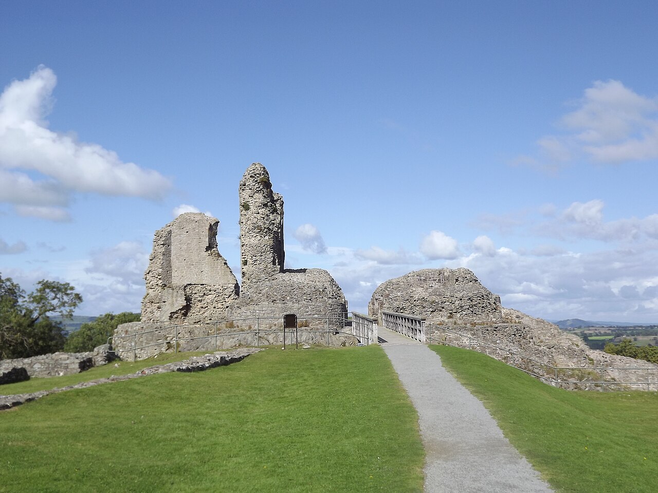
Montgomery Castle (Welsh: Castell Trefaldwyn) is a stone castle looking over the town of Montgomery in Powys, Mid Wales. It is one of many Norman castles on the border between Wales and England.
Its strategic importance in the Welsh Marches meant that it was destroyed and rebuilt a number of times until the early 14th century, when the area was largely pacified. During the First English Civil War, it was the site of the largest battle in Wales on 17 September 1644; the walls were slighted after the Second English Civil War in 1649 to prevent the castle being used again.
Text adapted from “Montgomery Castle” on Wikipedia, CC BY-SA 4.0.
Montgomery Castle ranks #2,793 of 9,079 worldwide in the atlas's castle fame ranking, and #45 of the 107 mapped in Wales. Founded 1223, it is older than 73% of the atlas's dated landmarks — one of 1080 atlas entries founded in the 13th century. Its Wikipedia articles were opened 1,372 times in the last 60 days, more than 59% of the atlas. 4 more atlas landmarks stand within 25 km. The nearest day-trip guide is Wrexham, 55 km away. See how Wales compares in the castle statistics.
View on the interactive castle map →