Fortress
Gamleborg
🇩🇰 Denmark · 8th century
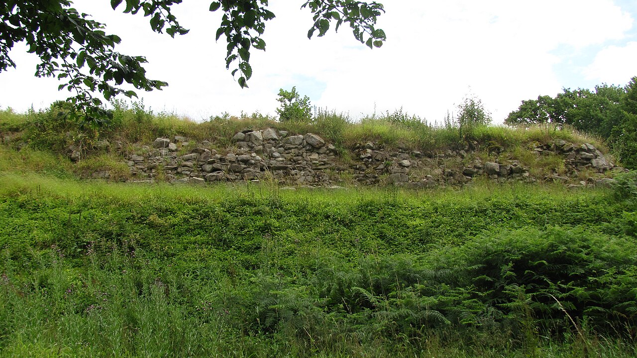
Gamleborg, also known as Gamleborg Viking Fortress, was the first fortification on the Danish island of Bornholm. Built around 750 AD, it was the seat of the kings of Bornholm during the Viking age (750–1050) and early Middle Ages (1050–1150). The massive fortress is 264 metres (866 ft) long from north to south and 110 metres (360 ft) wide from east to west, with gates to the north and southwest. Around 1100, significant alterations were made and it was reinforced, but it was abandoned soon afterwards in favour of the fortification of Lilleborg, roughly 700 metres (2,300 ft) to the northeast.
Text adapted from “Gamleborg” on Wikipedia, CC BY-SA 4.0.
Gamleborg ranks #4,858 of 8,134 worldwide in the atlas's castle fame ranking, and #53 of the 53 mapped in Denmark. Founded c. 750, it is older than 95% of the atlas's dated landmarks — one of 41 atlas entries founded in the 8th century. 2 more atlas landmarks stand within 25 km. See how Denmark compares in the castle statistics.
View on the interactive castle map →Frequently asked questions
Where is Gamleborg?
Gamleborg stands in Denmark, at 55.11417°, 14.90667°.
When was Gamleborg built?
The atlas dates its founding to c. 750. Earlier structures may have stood on the site; this is the earliest documented founding year.
How famous is Gamleborg?
In this atlas's fame ranking: #4,858 of 8,134 worldwide, and #53 in Denmark. Fame here combines how many Wikipedia language editions cover a landmark with how many people read them.
What is the nearest castle to Gamleborg?
Lilleborg, about 1 km away.
More castles in Denmark
- Nordborg Castle Denmark
- Voergaard Castle Denmark · 16th century
- Riberhus Denmark
- Søborg Castle Denmark · 12th century
More fortresses
- Naganeupseong South Korea · 14th century
- Gongsanseong South Korea
- Fortaleza de Santa Teresa Uruguay · 18th century
- Verkhoturye Kremlin Russia · 17th century