 Russia · 17th century
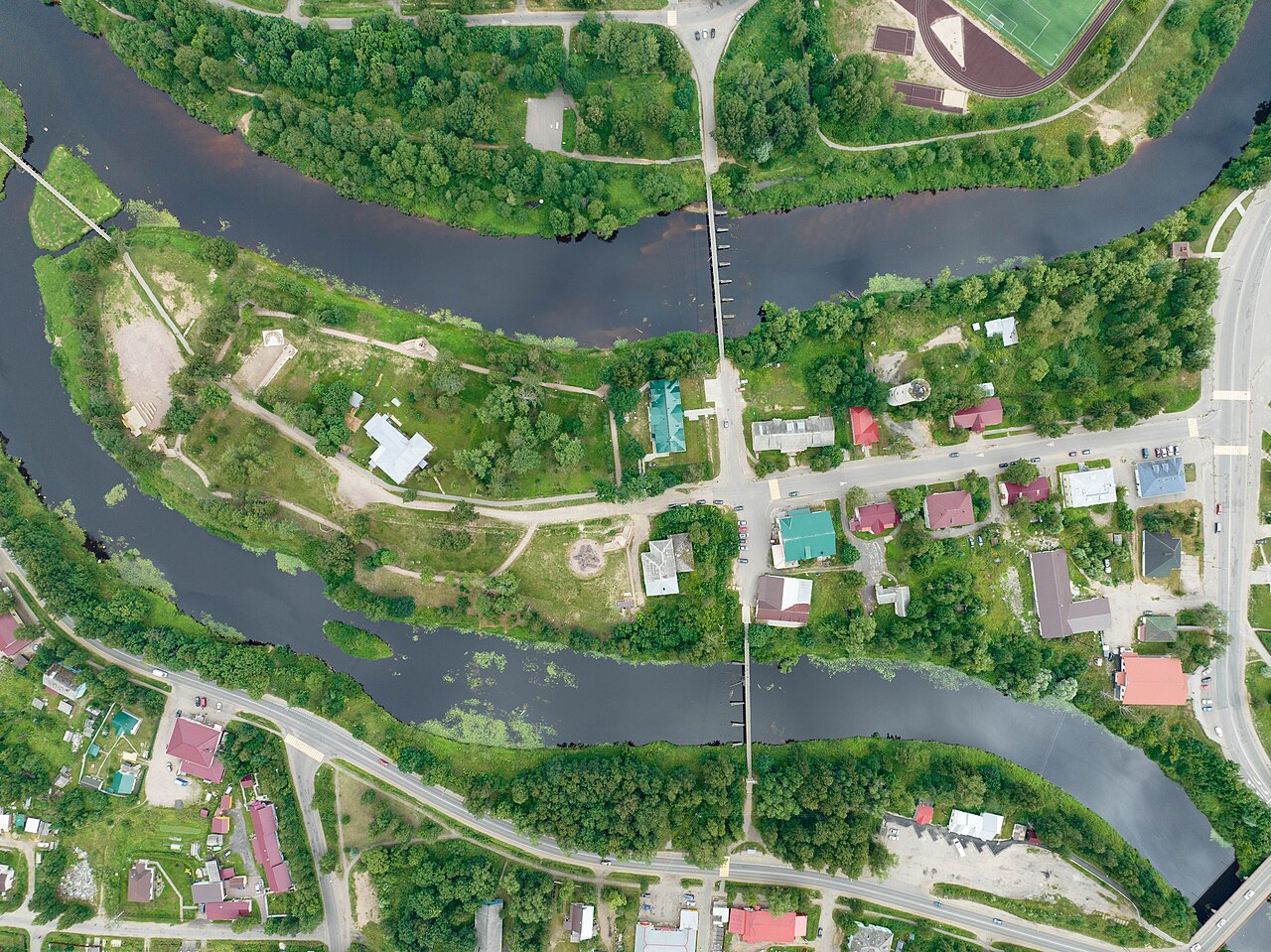
Olonets Fortress ranks #8,386 of 9,040 worldwide in the atlas's castle fame ranking, and #140 of the 145 mapped in Russia. Founded 1648, it is older than 26% of the atlas's dated landmarks, one of 710 atlas entries founded in the 17th century. See how Russia compares in the castle statistics.
Olonets Fortress was a "frontier fortress" at the confluence of the Olonka and Megrega rivers near the main settlement of the Olonets pogost, Tolmachyov Navolok and the village of Oksentyevo, an outpost on the border with Sweden and the seat of the Olonets voivode.
Olonets Fortress was built in the shortest possible time, in September 1649, in accordance with a decree of Tsar Alexei Mikhailovich. The construction was directed by Prince Fyodor Volkonsky and the clerk Stepan Yelagin. Its population consisted of well-to-do peasants from the Zaonezhye pogosts, whose occupations were trade and various crafts, including ironworking. The fortress became the centre around which the future town of Olonets took shape. The fortress wall, with 1,300 embrasures and nineteen towers, stretched for 1.5 km (783 sazhens) along the river banks. The fortress was situated at a level of 10–11 m above the water. The highest of its towers, the Red Tower, was 32 m high.
Within the walls of the fortress there were the Church of the Trinity, grain barns, the voivode's courts and 155 households, in which the civilian population took refuge in the event of military conflict. In the number of its towers, the length of its walls and its military equipment the fortress surpassed the Arkhangelsk fortress and the fortresses of Siberia. The fortress perished in the fire of 1741 and was never rebuilt.
Machine-translated from “Олонецкая крепость” on the Russian Wikipedia, CC BY-SA 4.0.
View on the interactive castle map →