Fortress
Ishtar Gate
 Iraq · 6th century BC
- Founded
- 575 BC
- Location
- Hillah
- Coordinates
- 32.54333°, 44.42222°
- Open data
- Wikidata Q26082
- Links
- Wikimedia Commons · Plan
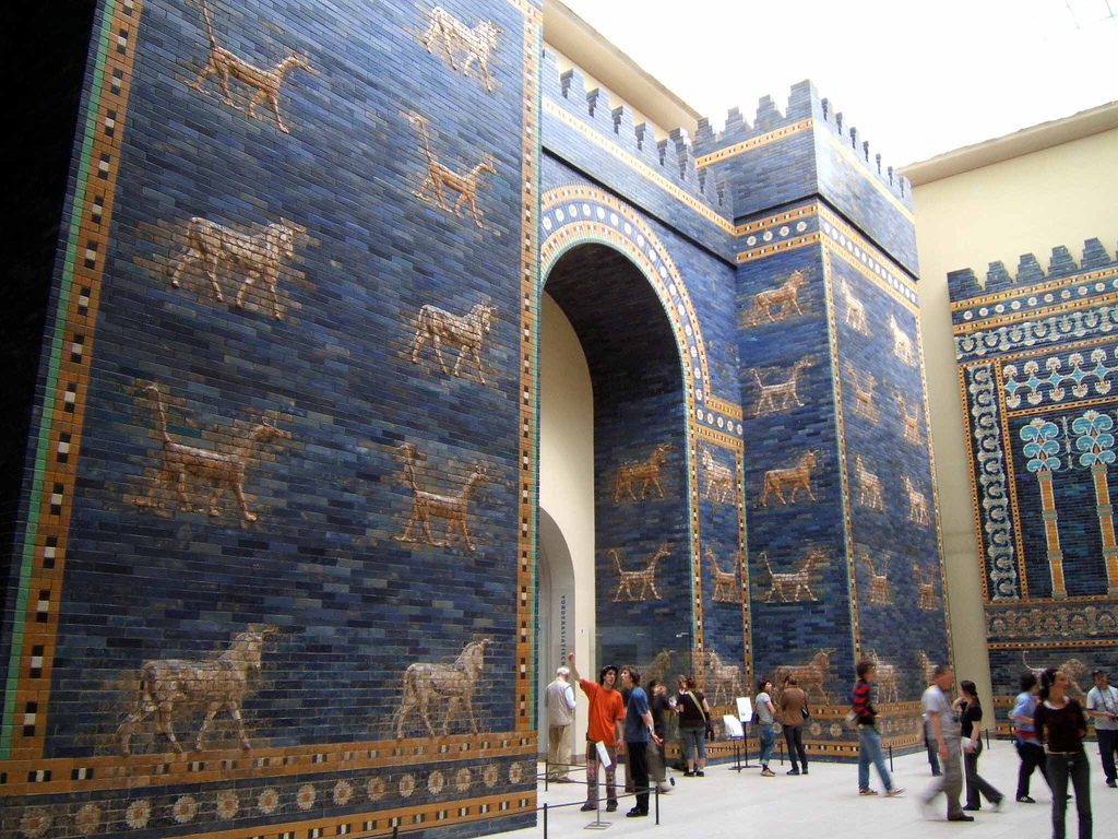
Description
The Ishtar Gate was the eighth gate to the inner city wall of Babylon (in the area of present-day Hillah, Babylon Governorate, Iraq). It was constructed c. 569 BC by order of King Nebuchadnezzar II on the north side of the city. It was part of a grand walled processional way leading into the city.
The original structure was a double gate with a smaller frontal gate and a larger and more grandiose secondary posterior section. The walls were finished in glazed bricks mostly in blue, with animals and deities (also made up of coloured bricks) in low relief at intervals. The gate was 15 metres high, and the original foundations extended another 14 metres underground.
German archaeologist Robert Koldewey led the excavation of the site from 1904 to 1914. After the end of the First World War in 1918, the smaller frontal gate was reconstructed in the Pergamon Museum in Berlin.
Other panels from the façade of the gate are located in many other museums around the world.
The façade of the Iraqi embassy in Beijing, China, includes a replica of the Ishtar Gate. The façades of the Iraqi embassies in Amman, Jordan, and Islamabad, Pakistan, also evoke the Ishtar Gate.
Text adapted from “Ishtar Gate” on Wikipedia, CC BY-SA 4.0.
In the rankings
Ishtar Gate ranks #28 of 9,902 worldwide in the atlas's castle fame ranking, and #1 of the 15 mapped in Iraq. Founded 575 BC, it is older than 99% of the atlas's dated landmarks, one of 10 atlas entries founded in the 6th century BC. Its Wikipedia articles were opened 142,009 times in the last 60 days, more than 99% of the atlas. See how Iraq compares in the castle statistics.
Castles nearby
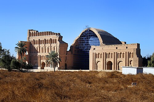
- Taq-i Kisra63 km · Iraq
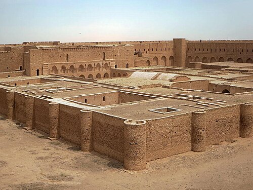
- Al-Ukhaidir Fortress78 km · Iraq
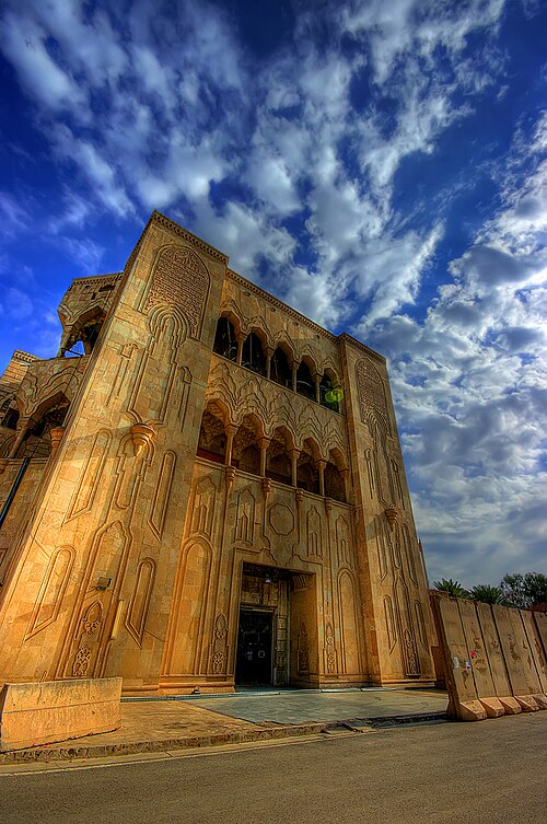
- As-Salam Palace84 km · Iraq
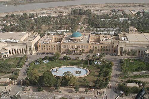
- Republican Palace85 km · Iraq
More castles in Iraq
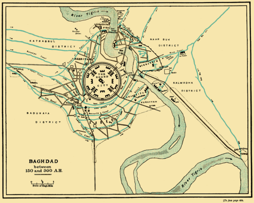
- Round city of BaghdadIraq · 8th century
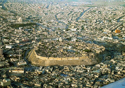
- Citadel of ErbilIraq
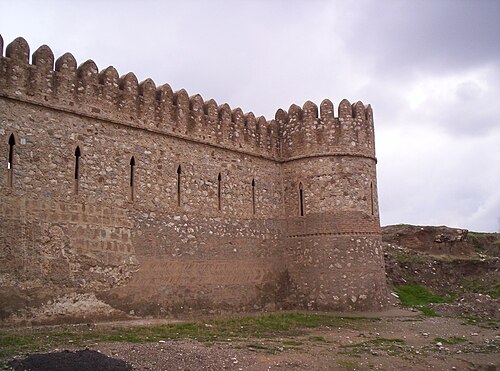
- Kirkuk CitadelIraq · 8th century BC
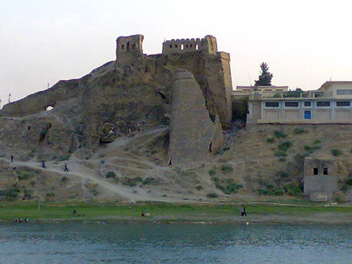
- Bash Tapia CastleIraq · 12th century