Fortress
Jaigarh Fort
 India · 18th century
- Founded
- 1726
- Location
- Jaipur
- Coordinates
- 26.98278°, 75.84472°
- Open data
- Wikidata Q2722759
- Links
- Wikimedia Commons
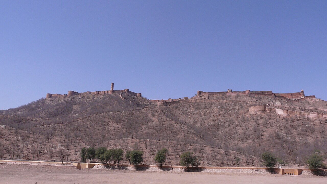
Description
Jaigarh Fort is situated on the promontory called the Cheel ka Teela (Hill of Eagles) of the Aravalli range; it overlooks the Amer Fort and the Maota Lake, near Amer in Jaipur, Rajasthan, India.
Raja Kakil Dev captured the Amber region from the Mina tribes and began construction of Jaigarh fort around the middle of the eleventh century. Over the centuries, the Fort was augmented by subsequent rulers, including Maha Raja Jai Singh II, who added palace apartments to the complex.
The fort, which is rugged and similar in structural design to Amer Fort, is also known as Victory Fort. It has a length of 3 kilometres (1.9 mi) along the north–south direction and a width of 1 kilometre (0.62 mi). The fort features a cannon named "Jaivana" (Jaivana Cannon), which was manufactured in the fort precincts and was then the world's largest cannon on wheels. Jaigarh Fort and Amer Fort are connected by subterranean passages and are considered as one complex.
Text adapted from “Jaigarh Fort” on Wikipedia, CC BY-SA 4.0.
In the rankings
Jaigarh Fort ranks #739 of 9,902 worldwide in the atlas's castle fame ranking, and #30 of the 238 mapped in India. Founded 1726, it is older than 20% of the atlas's dated landmarks, one of 757 atlas entries founded in the 18th century. Its Wikipedia articles were opened 5,765 times in the last 60 days, more than 90% of the atlas. 6 more atlas landmarks stand within 25 km. The nearest day-trip guide is Jaipur, 8 km away. It is one of the 31 landmarks on the atlas's regional map of Rajasthan. See how India compares in the castle statistics.
Castles nearby
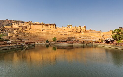
- Amber Fort1 km · India
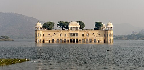
- Jal Mahal3 km · India
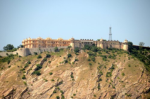
- Nahargarh Fort6 km · India
- City Palace, Jaipur7 km · India
More castles in India
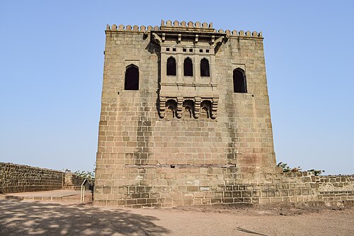
- Shivneri FortIndia
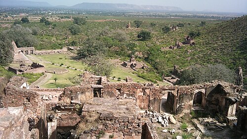
- Bhangarh FortIndia · 17th century
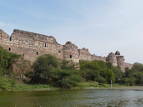
- Purana QilaIndia · 16th century
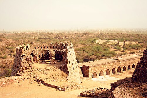
- Tughlaqabad FortIndia · 14th century