Ruin
Kyz-Kule
🇺🇦 Ukraine · 15th century
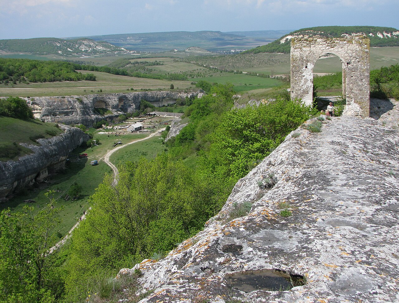
Kyz-Kule (also Cherkes-Kermen; Ukrainian: Киз-Куле, Crimean Tatar: Qız Qulle, Къыз Къулле) is a medieval feudal castle-fortress and an archaeological monument of federal significance.
Machine-translated from “Кыз-куле” on the Russian Wikipedia, CC BY-SA 4.0.
Kyz-Kule ranks #7,505 of 8,134 worldwide in the atlas's castle fame ranking, and #138 of the 188 mapped in Ukraine. Founded c. 1500, it is older than 45% of the atlas's dated landmarks — one of 455 atlas entries founded in the 15th century. 22 more atlas landmarks stand within 25 km. The nearest day-trip guide is Sevastopol, 17 km away. See how Ukraine compares in the castle statistics.
View on the interactive castle map →Frequently asked questions
Where is Kyz-Kule?
Kyz-Kule stands in Ukraine, at 44.61709°, 33.73586°.
When was Kyz-Kule built?
The atlas dates its founding to c. 1500. Earlier structures may have stood on the site; this is the earliest documented founding year.
How famous is Kyz-Kule?
In this atlas's fame ranking: #7,505 of 8,134 worldwide, and #138 in Ukraine. Fame here combines how many Wikipedia language editions cover a landmark with how many people read them.
What is the nearest castle to Kyz-Kule?
Eski-Kermen, about 1 km away.
More castles in Ukraine
- Kala-Fatlar Ukraine · 13th century
- Novobohorodytska Fortress Ukraine · 17th century
- Bilevska fortress Ukraine
- Aluston Fortress Ukraine · 6th century
More ruins
- Gurzuf Fortress Ukraine · 6th century
- Demerdji Isar Ukraine · 13th century
- Asarane Burun Ukraine
- Burun Kaia Ukraine · 9th century