Fortress
Modlin Fortress
 Poland · 19th century
- Founded
- 1806
- Location
- Nowy Dwór Mazowiecki
- Coordinates
- 52.43833°, 20.68194°
- Open data
- Wikidata Q47796
- Links
- OpenStreetMap · Wikimedia Commons

Description
Modlin Fortress (Polish: Twierdza Modlin), called in Russian the Novogeorgievsk Fortress (Russian: Крепость Новогеоргиевск), is one of the largest 19th-century fortresses in Poland. It is located in the town of Nowy Dwór Mazowiecki in district Modlin on the Narew river, approximately 50 kilometers north of Warsaw. It was originally constructed by the French from 1806 to 1812.
The strategic importance of the area limited by the Vistula, Bug, Wkra and Narew was known to various armies throughout the ages. The first fortified stronghold was built in Zakroczym by the Piast dynasty in the 11th century.
The first modern fortifications in the area of today's citadel were built by the forces of the Polish Masovian troops, which established a camp here in September 1655 to defend against the Swedish invasion. These were fortified artillery positions defending the crossings over the Vistula and Bugonarew, and a moat protecting the camp from the east. During the Battle of Nowy Dwór Mazowiecki, Polish forces blocked the crossing of Swedish troops for ten days, then, forced to retreat by Swedish artillery fire, they broke away from the enemy, using the fortifications and terrain obstacles, avoiding destruction.
The next modern fortified position was built there in 1656 by the Swedish armies during The Deluge. The so-called Bugskansen was a star-shaped fortified military camp, located probably close to the confluence of the Narew and the Vistula, at the so-called Swedish Island. The camp was also guarding a wooden bridge over the Vistula prior to the battle of Zakroczym and served as the main supply depot of the Swedish army during the battle of Warsaw of July 1656. After the Swedish defeat the fort was demolished in 1660 and the area remained unfortified for roughly 150 years.
After the Partitions of Poland the area was incorporated into the Russian Empire. Shortly afterward Jan Pieter van Suchtelen, a Dutch military engineer in Russian service prepared a construction plan for a mighty fortress in the area, named after the nearby town of Zakroczym. The fort was to be a bastion fortress, located approximately 1.5 km from the rivers and with several forts guarding the area from the west. However, the project was never accomplished as in 1806 the area became part of the Duchy of Warsaw, a rump Polish state created by and allied to Napoleon Bonaparte.
Text adapted from “Modlin Fortress” on Wikipedia, CC BY-SA 4.0.
In the rankings
Modlin Fortress ranks #499 of 9,902 worldwide in the atlas's castle fame ranking, and #10 of the 455 mapped in Poland. Founded 1806, it is older than 12% of the atlas's dated landmarks, one of 782 atlas entries founded in the 19th century. Its Wikipedia articles were opened 11,033 times in the last 60 days, more than 95% of the atlas. 3 more atlas landmarks stand within 25 km. The nearest day-trip guide is Warsaw, 32 km away. See how Poland compares in the castle statistics.
Castles nearby
- Jabłonna Palace17 km · Poland
- Big Fort of Zegrze Fortress23 km · Poland
- Small Fort of Zegrze Fortress25 km · Poland
- Radziwills’ Palace in Jadwisin27 km · Poland
More castles in Poland
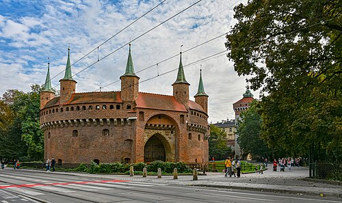
- Kraków BarbicanPoland · 15th century
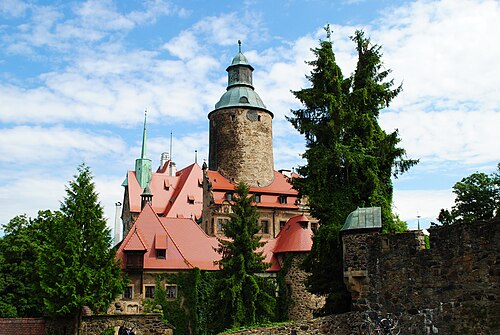
- Czocha CastlePoland · 14th century
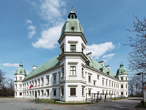
- Ujazdów CastlePoland · 13th century
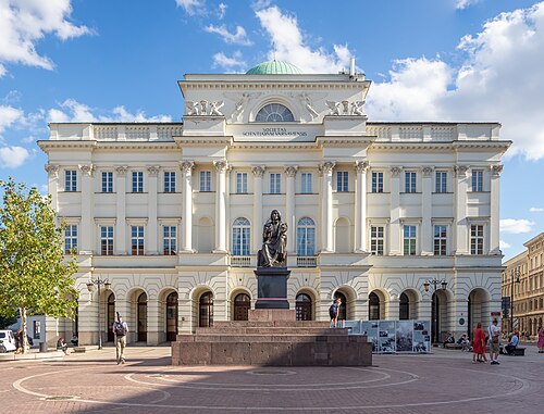
- Staszic PalacePoland · 19th century