


 Castles near Iğdır
19 castles, fortresses, palaces and ruins within 100 km of the city centre: every one on the interactive map, with photos, distances and directions.
- Within 100 km
- 19 landmarks
- By type
- 2 castles · 5 fortresses · 1 palace & château · 11 ruins
- Closest
- Sardar's Fortress · 24 km
- Most famous
- Ani · #41
- Oldest
- Erebuni Fortress · 782 BC
- Countries
- Armenia 14 · Turkey 4 · Iran 1
- City
- 137,613 residents
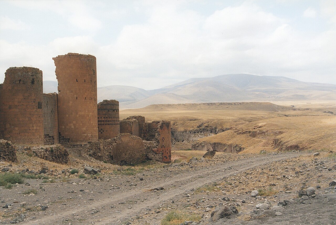
The closest is Sardar's Fortress, 24 km north of the city centre; the most famous is Ani (#41 of 9,902 worldwide) 76 km north-west. The oldest dated site in the circle is Erebuni Fortress, founded 782 BC.
The 100 km circle reaches into 3 countries: Armenia (14), Turkey (4), Iran (1).
Within 25 km of Iğdır
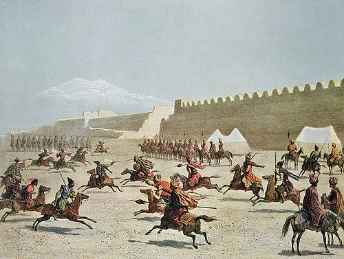
- Sardar's Fortress
 24 km north · Ruin
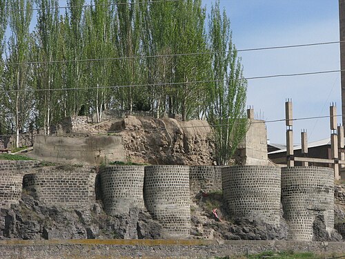
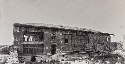
Sardarabad, also known as Sardari Berd, was a 19th-century fortress and urban center built in the Erivan Khanate in Qajar Iran, in the territory of…
Day trips: 25–60 km
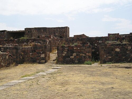
- Erebuni Fortress48 km north-east · Ruin
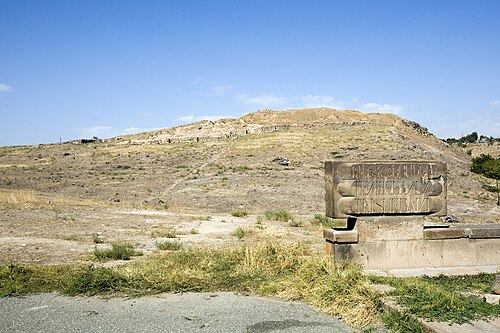
Erebuni Fortress is an Urartian fortified city, located in Yerevan, Armenia. It is 1,017 metres above sea level.
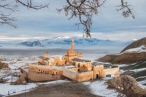
- Ishak Pasha Palace45 km south · Ruin
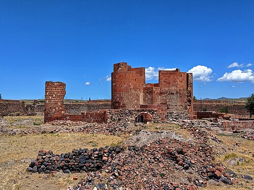
Ishak Pasha Palace is a semi-ruined palace and administrative complex located in the Doğubeyazıt district of Ağrı province of eastern Turkey.
- Amberd54 km north · Ruin
Amberd is a 10th-century fortress located 2,300 meters above sea level, on the slopes of Mount Aragats at the confluence of the Arkashen and Amberd…
- Erivan Fortress48 km north-east · Ruin
Erivan Fortress or Yerevan Fortress was a 16th-century fortress in Yerevan. The fortress was built during the Ottoman rule in 1582–83 by Serdar…
- Teishebaini (Karmir Blur)43 km north-east · Ruin
Teishebaini (also Teshebani, modern Karmir Blur referring more to the hill that the fortress is located upon) was the capital of the Transcaucasian…
- Dashtadem Fortress49 km north · Fortress
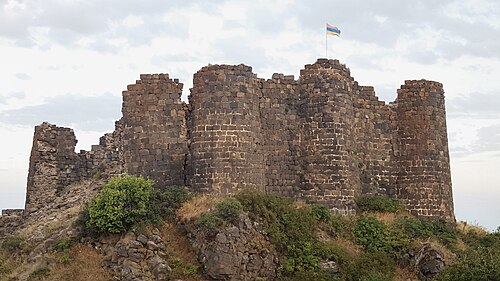
Dashtadem Fortress is a substantial fortress of the 5th to 19th centuries located at the southern outskirts of Dashtadem village in the Aragatsotn…
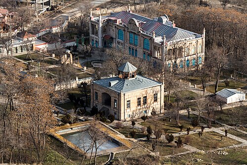
- Sardar Palace in Erivan48 km north-east · Ruin
Palace of Sardar or Sardar Palace is the former residence of Sardar, the ruler of the Erivan Khanate.
- Aghchka berd44 km north · Castle
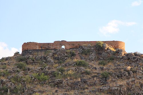
Aghchka berd is a 13th-century fortification situated on the top of a hill near the village of Kosh in the province of Aragatsotn in Armenia.
- Ushiberd54 km north-east · Ruin
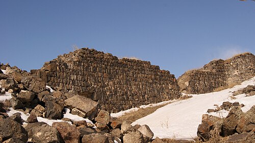
Ushiberd is an Iron Age fortress located upon a hill just outside the village of Ushi in the Aragatsotn Province of Armenia.
- Doğubayazıt Castle45 km south · Castle
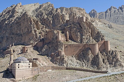
Doğubayazıt Castle, Karaköse castle or the fortress of Daryunk is an Armenian castle built on a hill formed of steep rocks, a few kilometres…
Farther afield: 60–100 km
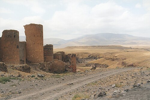
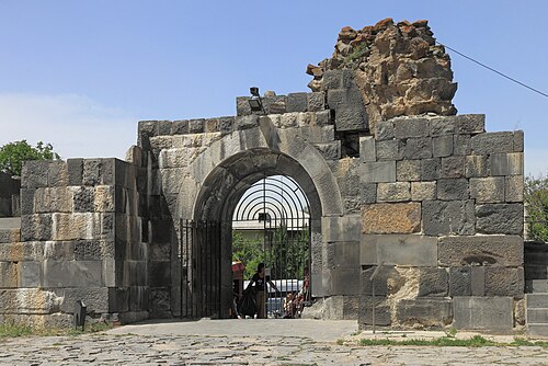
- Ani76 km north-west · Ruin · #41 worldwide
Ani is a ruined medieval Armenian city now situated in Turkey's province of Kars, next to the closed border with Armenia.
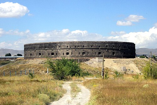
- Sev Berd97 km north · Ruin
Sev Berd or Black Fortress is an abandoned Russian imperial fortress in Gyumri, Shirak Province, Armenia.
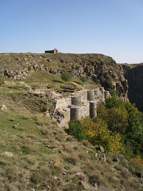
- Bjni Fortress79 km north-east · Fortress
Bjni Fortress is a medieval Armenian fortress located in the village of Bjni in the Kotayk Province of Armenia.
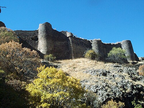
- Kakavaberd73 km east · Fortress
Kakavaberd or Kaqavaberd, also known as Geghi Berd, Keghi Berd or Kegh, is a fortress on a ridge overlooking the Azat River gorge at Khosrov Forest…
- Baqcheh Jooq Palace
 78 km south-east · Palace & château
Baqcheh Jooq Palace is a palace located between the border towns of Maku and Bazargan in West Azerbaijan province, Iran.
- Horom Citadel82 km north · Fortress
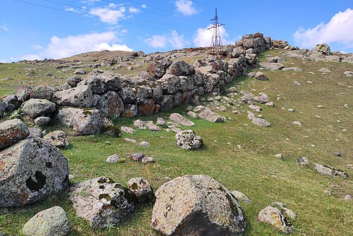
Horom Citadel is an ancient Bronze Age through Urartian fortification atop two large hills south of the main road and opposite of the dam and Kamut…
- Garni Fortress62 km east · Fortress
Garni Fortress is an ancient Armenian fortress and settlement in the valley of the Azat River, in the Kotayk province of Armenia, 27–28 km east of…
Distances are straight-line from the city centre. City coordinates and population: Wikidata Q483331.
Frequently asked questions
How many castles are near Iğdır?
The Castle Map atlas maps 19 landmarks (2 castles · 5 fortresses · 1 palace & château · 11 ruins) within 100 km of the centre of Iğdır, measured straight-line: a curated selection of well-documented landmarks, not a count of every fortification ever built.
What is the closest castle to Iğdır?
Sardar's Fortress, a ruin 24 km north of the city centre.
What is the most famous castle near Iğdır?
Ani, ranked #41 of 9,902 worldwide in the atlas's fame ranking: 76 km north-west from Iğdır.
What is the oldest castle near Iğdır?
The oldest dated landmark in the circle is Erebuni Fortress, founded 782 BC: 48 km north-east. Earlier structures may have existed; this is the oldest with a documented founding year.
 210 km
