 England · 11th century
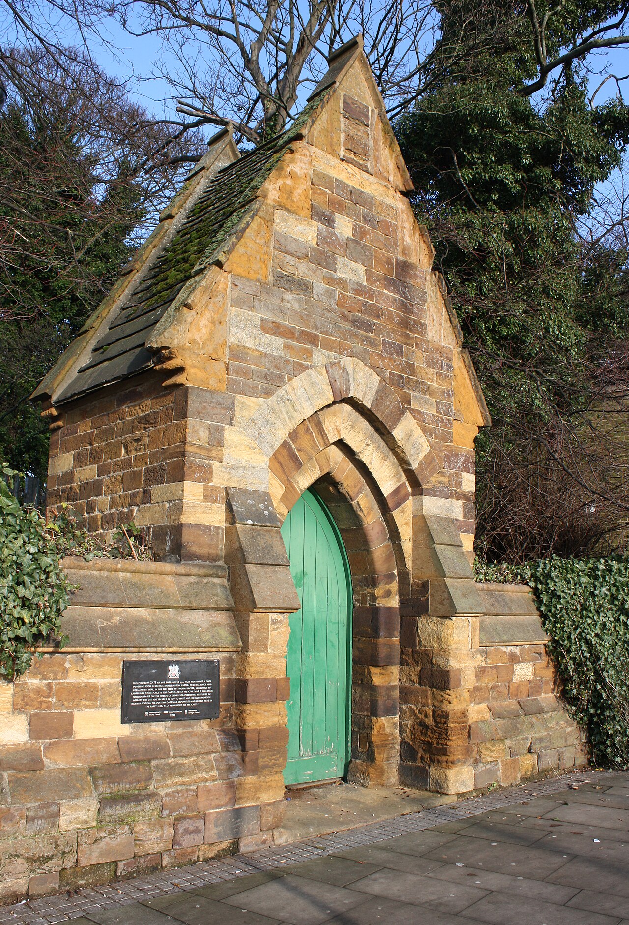
Northampton Castle ranks #3,343 of 9,040 worldwide in the atlas's castle fame ranking, and #230 of the 360 mapped in England. Founded 1084, it is older than 87% of the atlas's dated landmarks, one of 439 atlas entries founded in the 11th century. Its Wikipedia articles were opened 1,374 times in the last 60 days, more than 59% of the atlas. 2 more atlas landmarks stand within 25 km. The nearest day-trip guide is Milton Keynes, 25 km away. See how England compares in the castle statistics.
Northampton Castle was one of the most prominent Norman castles in England. The castle site in Northampton was outside the western city gate, and defended on three sides by deep trenches. A branch of the River Nene provided a natural barrier on the western side. The castle had extensive grounds and a large keep. The gates were surrounded by bulwarks made of earth, used to mount artillery. The castle was "obliterated" by the arrival of a railway branch of what is now the West Coast Main Line in the 19th century, the station of which was built on the castle site and the construction of the original Northampton Castle railway station. All that remains of the castle today is the Postern Gate, near Northampton Railway Station.
Text adapted from “Northampton Castle” on Wikipedia, CC BY-SA 4.0.
View on the interactive castle map →