Ruin
Petit Châtelet
🇫🇷 France · 9th century
The Grand Châtelet, to the north, to protect the access to the Grand Pont (the present-day Pont au Change).
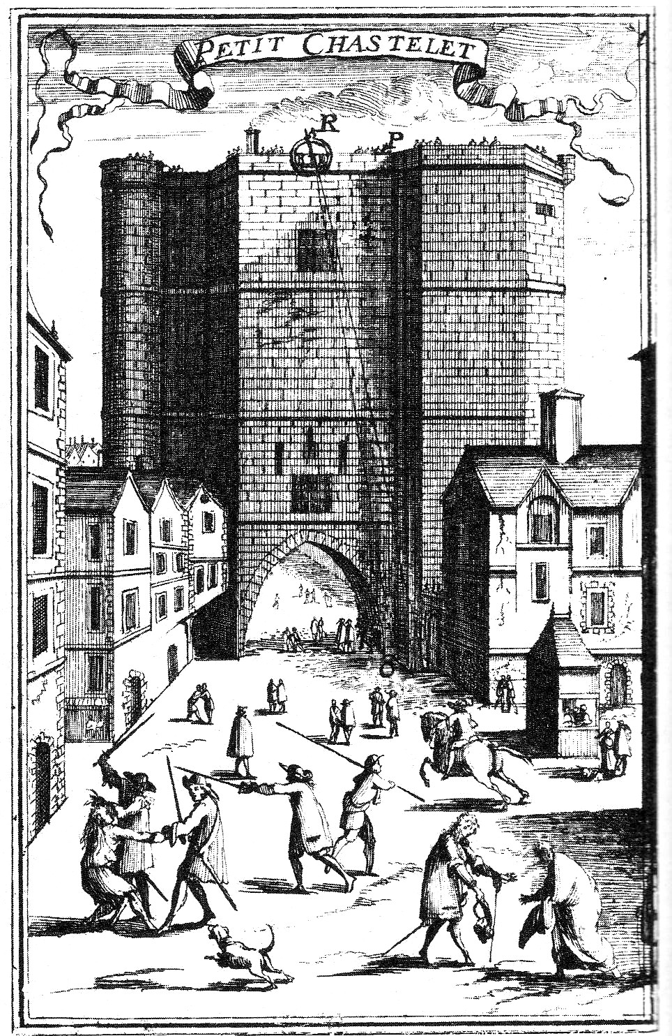
The Petit Châtelet, to the south, to protect the access to the Petit-Pont.
Situated at the southern end of the Petit-Pont, the Petit Châtelet was so named to distinguish it from the Grand Châtelet situated beyond the Grand Pont. In Paris, when the name "Châtelet" is used without further qualification, it is always the Grand Châtelet that is meant.
Machine-translated from “Petit Châtelet” on the French Wikipedia, CC BY-SA 4.0.
Petit Châtelet ranks #4,953 of 8,134 worldwide in the atlas's castle fame ranking, and #386 of the 525 mapped in France. Founded c. 875, it is older than 94% of the atlas's dated landmarks — one of 65 atlas entries founded in the 9th century. 38 more atlas landmarks stand within 25 km. The nearest day-trip guide is Paris, 1 km away. See how France compares in the castle statistics.
View on the interactive castle map →Frequently asked questions
Where is Petit Châtelet?
Petit Châtelet stands in France, at 48.8575°, 2.34722°.
When was Petit Châtelet built?
The atlas dates its founding to c. 875. Earlier structures may have stood on the site; this is the earliest documented founding year.
How famous is Petit Châtelet?
In this atlas's fame ranking: #4,953 of 8,134 worldwide, and #386 in France. Fame here combines how many Wikipedia language editions cover a landmark with how many people read them.
What is the nearest castle to Petit Châtelet?
Palais de la Cité, about 1 km away.
More castles in France
- Fort Paté France · 17th century
- Fort Mont-Valérien France · 19th century
- Fort Saint-Nicolas France · 17th century
- Fort Delgrès France · 17th century
More ruins
- Zhvantsem Castle Ukraine · 15th century
- Anevo Fortress Bulgaria · 12th century
- Fort Reno United States · 19th century
- Fort Coligny Brazil · 16th century