 Northern Cyprus · 10th century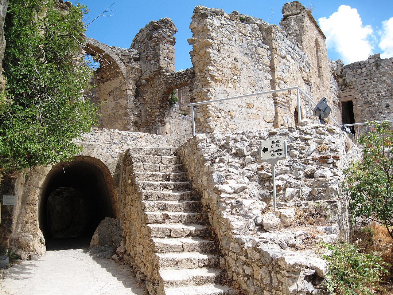
Saint Hilarion Castle is in the Kyrenia Mountains of Cyprus. This location provided the castle with command of the pass road from Kyrenia to Nicosia. It is the best preserved ruin of the three former strongholds in the Kyrenia mountains, the other two being Kantara and Buffavento.
The castle is not named after Saint Hilarion of Thavata. It was named after an obscure saint, who is traditionally held to have fled to Cyprus after the Arab conquest of the Holy Land and retired to the hilltop on which the castle was built for hermitage. An English traveller reported the preservation of his relics in the 14th century. It has been proposed that a monastery built in his name preceded the castle, which was built around it. However, this view is not supported by any substantial evidence.
Starting in the 11th century, the Byzantines began fortification. Saint Hilarion, together with the castles of Buffavento and Kantara, formed the defense of the island against Arab raids against the coast. Some sections were further upgraded under the Lusignan dynasty, whose kings may have used it as a summer residence. During the rule of the Lusignans, the castle was the focus of a four-year struggle between Holy Roman Emperor Frederick II and Regent John of Ibelin (c. 1179 – 1236) for control over Cyprus.
Much of the castle was dismantled by the Venetians in the 15th century to reduce the cost of garrisons.
The castle has three divisions or wards. The lower and middle wards served economic purposes, while the upper ward housed the royal family. The lower ward had the stables and the living quarters for the men-at-arms. The Prince John tower sits on a cliff high above the lower castle.
The upper ward was surrounded by a 1.4 metres (4.6 ft) thick Byzantine wall, made of rough masonry. The entrance is through a pointed arch built by the Lusignans. This was protected by a semicircular tower to the east. Within the ward is a courtyard, with twin peaks being situated to either side of it. To the north-east is an extremely ruined kitchen. To the west are the royal apartments, dated by various sources to the 13th or 14th centuries. Although mostly ruined today, this was a structure in the northeast-southwest axis, with a length of 25 m (82 ft) and width of 6 m (20 ft). It has a basement containing a cistern and two floors.
Text adapted from “Saint Hilarion Castle” on Wikipedia, CC BY-SA 4.0.
Saint Hilarion Castle ranks #846 of 9,079 worldwide in the atlas's castle fame ranking, and #1 of the 6 mapped in Northern Cyprus. Founded c. 950, it is older than 92% of the atlas's dated landmarks — one of 193 atlas entries founded in the 10th century. Its Wikipedia articles were opened 3,907 times in the last 60 days, more than 83% of the atlas. 4 more atlas landmarks stand within 25 km. The nearest day-trip guide is Limassol, 74 km away. See how Northern Cyprus compares in the castle statistics.
View on the interactive castle map →