 Ukraine · 12th century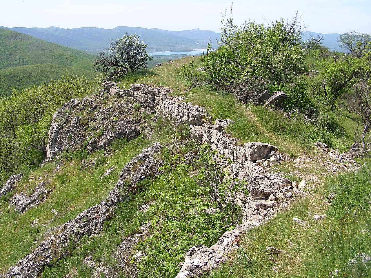
Sandyk-Kaya (Crimean Tatar: Sandıq Qaya, Сандыкъ Къая) is the conventional name of a medieval fortress (isar), given after the summit of Sandyk-Kaya (also Syuyuryu-Kaya, 837 m high) on the Kordon-Bair ridge (the western spur of the Ai-Petri yayla) in the south-western part of Crimea.
The presence of Taurian stone boxes and finds of ancient and early medieval coins indicate that the area was settled before the Common Era. The historian Anatoly Yakobson dated the emergence of the fortification to the 9th century and established that the population used Greek script. In 1967 M. Ya. Choref published a poorly preserved Greek inscription on one of the fortress's gravestones, on which only the year of burial can be read — 1429 or 1430. The prevailing view now is that Sandyk-Kaya, judging by the ceramic finds, was a feudal lord's castle of the 13th–15th centuries that formed part of the Principality of Theodoro and perished in a fire at the fall of Mangup in 1475.
Viktor Leonidovich Myts believes that the castle may have been the residence of one of the members of the family of the rulers of Theodoro. The feudal lord's domains lay in the Suatkan valley — medieval settlements on the site of the present-day villages of Bohate Ushchelie, Poliana, Putylivka and Novopillia.
The fortress, of rather substantial size, stood on the flat, isolated summit of the rock ("sandyk" means "chest"), occupying an area of 2.38 hectares with dimensions of 390×120 metres. Defensive walls, built of large rubble on a lime-sand mortar, were erected only on the west and south-east; the steep cliffs are impregnable. There too, on the west and east, were the entrances to the fortress, the main one being the western entrance, approached by a cart road with wagon-wheel ruts cut into the stone.
Machine-translated from “Сандык-Кая (исар)” on the Russian Wikipedia, CC BY-SA 4.0.
Sandyk-Kaya ranks #8,977 of 9,079 worldwide in the atlas's castle fame ranking, and #189 of the 195 mapped in Ukraine. Founded c. 1200, it is older than 75% of the atlas's dated landmarks — one of 756 atlas entries founded in the 12th century. 31 more atlas landmarks stand within 25 km. The nearest day-trip guide is Sevastopol, 31 km away. See how Ukraine compares in the castle statistics.
View on the interactive castle map →