 Romania · 14th century
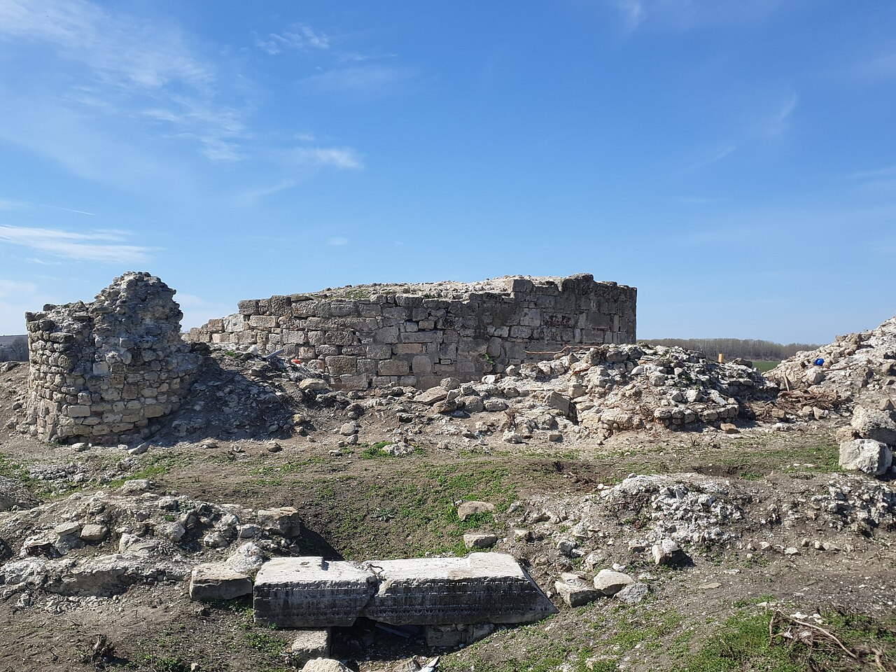
The medieval fortress of Turnu (English: tower, Turkish: Kule, also known as Nicopolis minor, Holavnic) is located in the southern part of Turnu Măgurele at a distance of 3 km from the city and 1 km from the confluence of the Olt and Danube rivers in today's Romania. The fortress is documented during the reign of Mircea the Elder (1394) and was built on the Danube line for the defense of Wallachia against the Turkish peril. At the end of the reign of Mircea the Elder, under unclear circumstances, it came under Ottoman occupation to return to the possession of Wallachia only in 1829 when it was burned and demolished.
It is part of the historical monuments list in Teleorman County. Starting in October 2018, it is in a process of restoration and consolidation.
Text adapted from “Turnu Fortress” on Wikipedia, CC BY-SA 4.0.
Turnu Fortress ranks #5,843 of 9,035 worldwide in the atlas's castle fame ranking, and #58 of the 125 mapped in Romania. Founded 1394, it is older than 52% of the atlas's dated landmarks, one of 757 atlas entries founded in the 14th century. See how Romania compares in the castle statistics.
View on the interactive castle map →